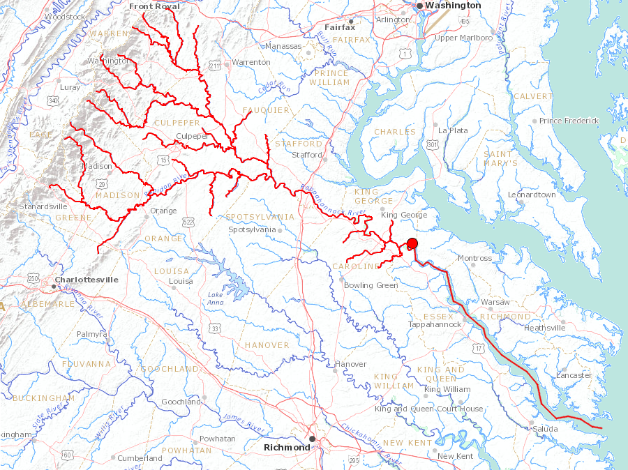
the Rappahannock River flows from the Blue Ridge to the Chesapeake Bay
Source: US Geological Survey (USGS), Streamer
the Rappahannock River flows from the Blue Ridge to the Chesapeake Bay
Source: US Geological Survey (USGS), Streamer
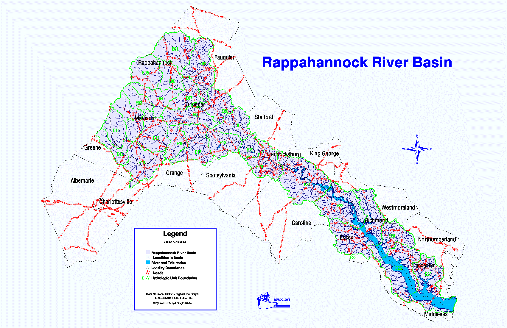
The headwaters of the Rappahannock River is Chester Gap in the Blue Ridge, neat Front Royal. The mouth of the river is 184 miles away at Stingray Point.1
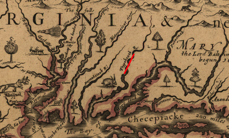
in 1651, John Farrer mapped the Rappahannock as "Toppahanok River"
Source: Library of Congress, A mapp of Virginia discovered to ye hills (John Farrer/John Overton, 1667)
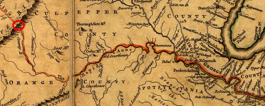
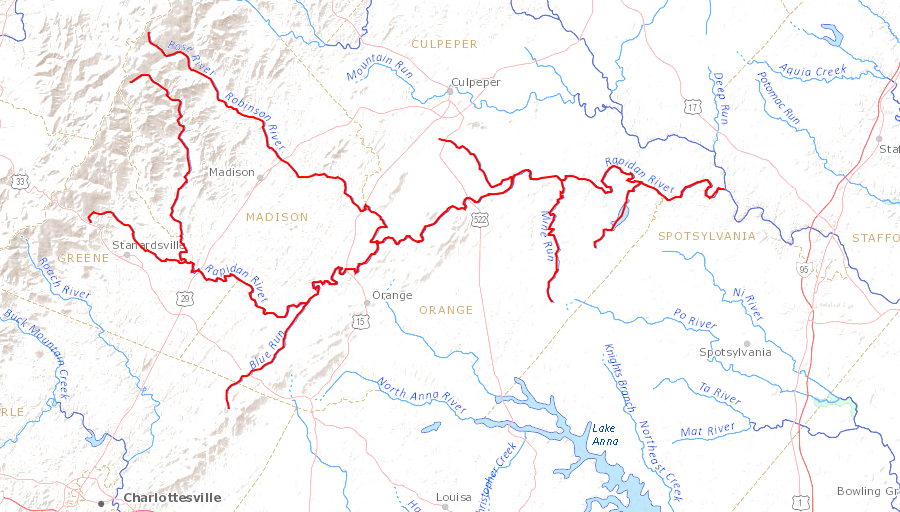
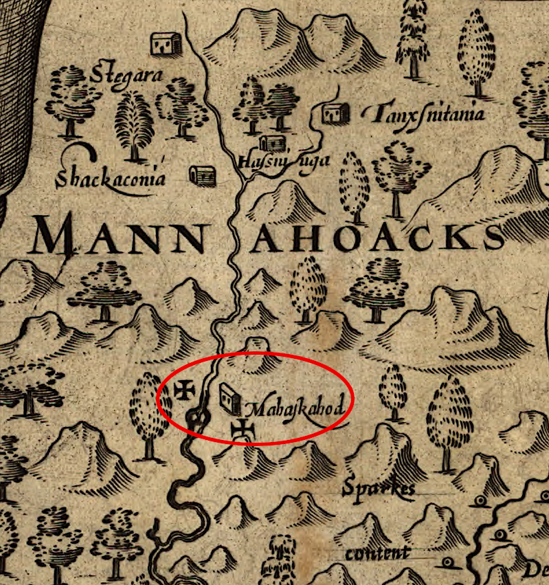
the headwaters of the Rapidan tributary of the Rappahannock River (red circle) defined the southern boundary of the Fairfax Grant
Source: Library of Congress, A map of the most inhabited part of Virginia containing the whole province of Maryland with part of Pensilvania, New Jersey and North Carolina (by Joshua Fry and Peter Jefferson, 1755)
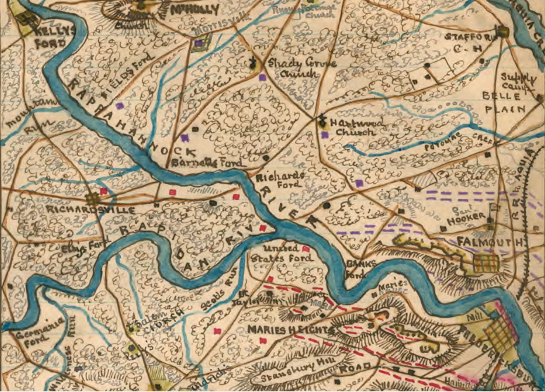
the Rapidan River is the largest tributary of the Rappahannock River
Source: Library of Congress, Position of Union and Rebel armies at Fredericksburg, Decr. 1st 1862
the Appomattox River flows east to its confluence with the James River
Source: US Geological Survey (USGS), Streamer
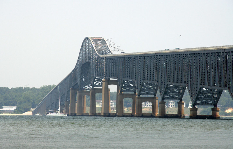
Route 3 bridge across the Rappahannock River between Lancaster and Middlesex counties
Source: Virginia Department of Transportation, Robert O. Norris Bridge
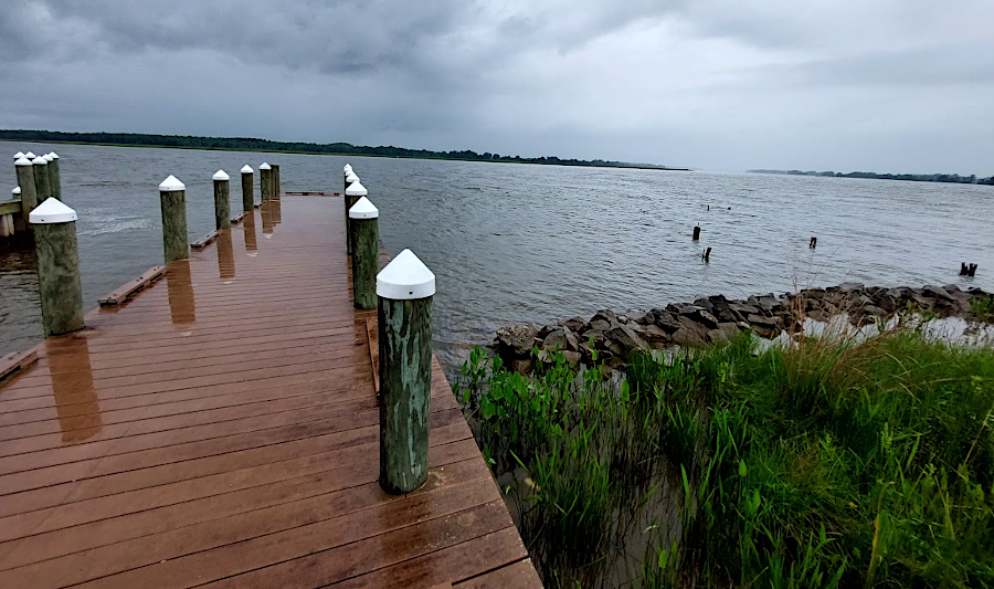
Carters Wharf, just downstream from the boundary of Westmoreland and Richmond counties

Potomac, Shenandoah, and Rappahannock watersheds
Source: Middle Atlantic River Forecast Center
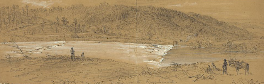
soldiers marched back and forth across the Rappahannock River during the Civil War
Source: Library of Congress, Banks Ford and Scotts Damn [sic] on the Rappahannock (by Alfred R. Waud, 1863)
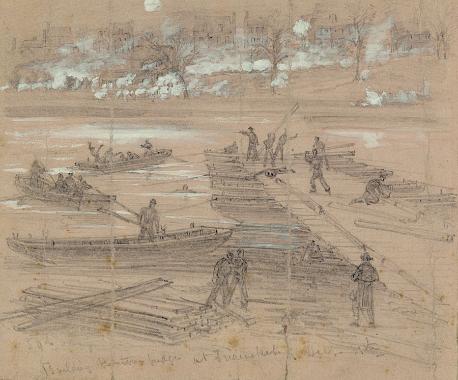
the Union Army built pontoon bridges to cross the Rappahannock River in December 1862
Source: Library of Congress, Building pontoon bridges at Fredericksburg Dec. 11th (by Alfred R. Waud, 1862)
in 1608 John Smith marked with Maltese crosses where he explored to the Fall Line, but still learned from Native Americans there about the river's sources in the Blue Ridge
Source: Library of Congress, Virginia (by John Smith, 1624)
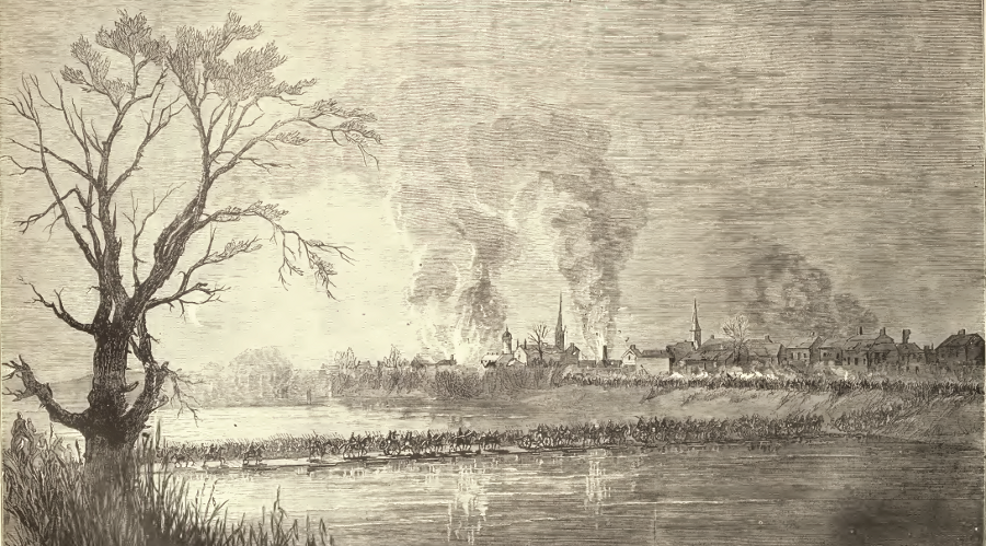
Union troops crossing the Rappahannock River on pontoon bridges to seize Fredericksburg, December 1862
Source: Frank Leslie's illustrated history of the Civil War (p.271)
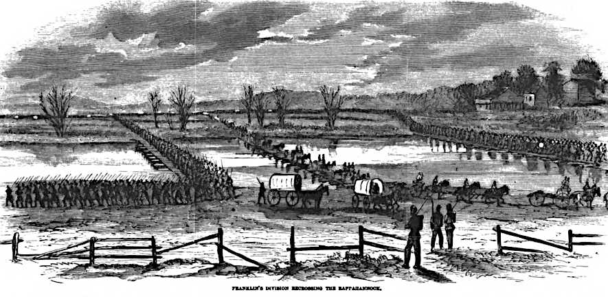
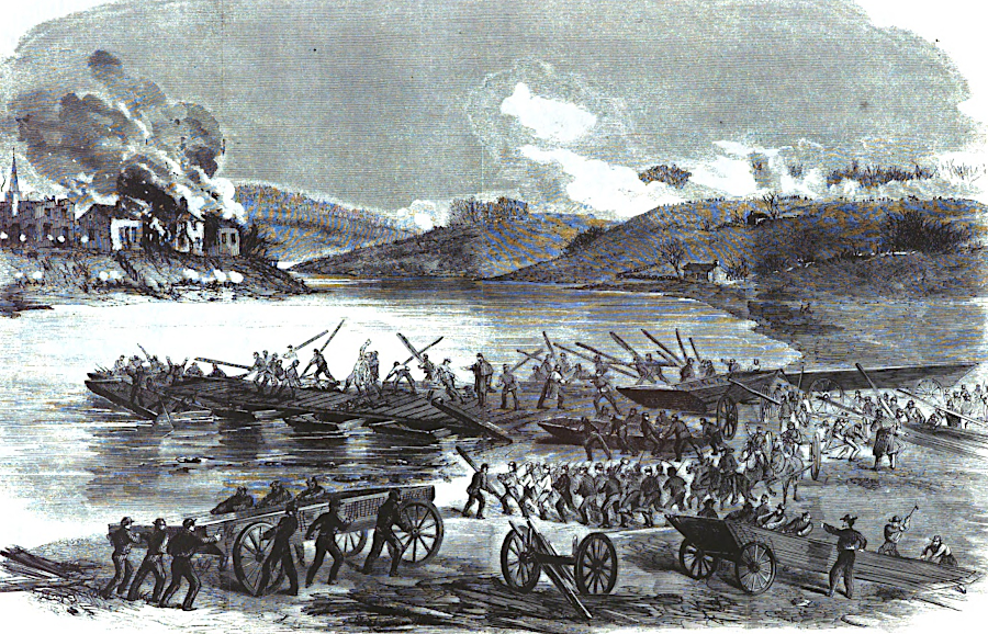
the Union Army used pontoon bridges at Fredericksburg to cross the Rappahannock River in 1862
Source: Harper's Pictorial History of the Civil War, Burnside's Campaign - Fredericksburg (p.415)
the pontoon bridges at Fredericksburg were constructed despite rifle fire from Confederate soldiers on the southern bank
Source: Harper's Pictorial History of the Civil War, Burnside's Campaign - Fredericksburg (p.410)
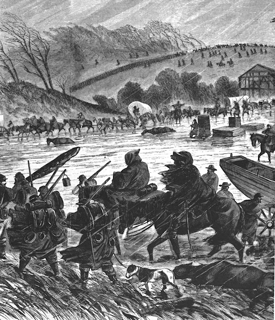
the Union Army also crossed the river at fords upstream of Fredericksburg
Source: Harper's Pictorial History of the Civil War, Burnside's Campaign - Fredericksburg (p.418)
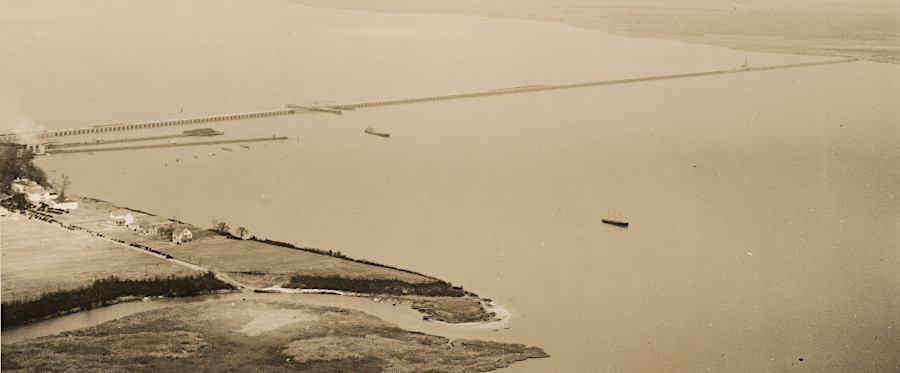
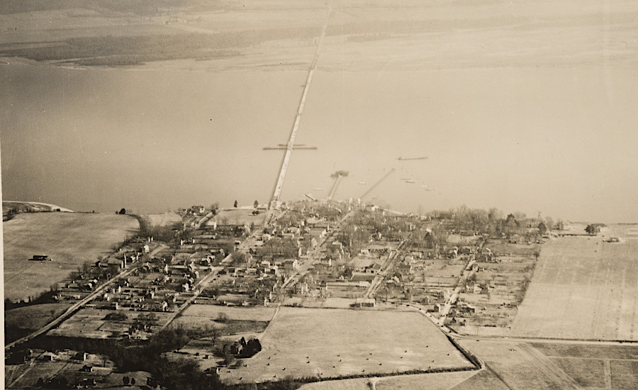
Downing Bridge crossing between Tappahannock and Richmond County, soon after construction in 1927
Source: National Archives, Virginia - Tappahannock and Virginia - Tappahannock

the French army marched north from Yorktown in 1782, and camped at Falmouth on the Rappahannock River
Source: Library of Congress, Amérique campagne (1782)