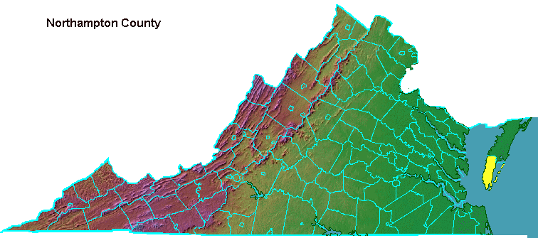

In 1643 the General Assembly changed the name of Accomac(k) County to Northampton County, perhaps as part of the purge of Native American names such as Warrosquyoake (now Isle of Wight).
In 1663, there were enough English settlers travelling long distances to the monthly courts to justify dividing Northampton into two counties. The southern portion retained the name of Northampton, the home county of local leader Obedience Robins. The northern part adopted the old name of Accomac(k). The decision to split the counties gave Col. Edmund Scarborough, the aggressive competitor with Obedience Robins, control over a county court.
However, in 1670 Scarborough over-reached and almost initiated a war with local Native American tribes. Governor Berkeley was unable to punish Scarborough because he was a member of the General Assembly representing Accomack County - so the governor abolished Accomack County and reconsolidated it with Northampton. That change eliminated Scarborough's exemption from prosecution.
In 1673, after Scarborough's death, the counties were split again, but Accomack was given more land than Northampton. In 1687, Northampton County managed to get the boundary with Accomack County moved north, so each county would have about the same amount of territory.1
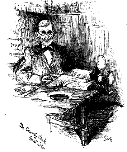
in 1879, Harper's New Monthly Magazine found Eastville to be a "quaint, sleepy place"2
Source: Library of Congress, A Peninsular Canaan in Harper's New Monthly Magazine (May 1879)
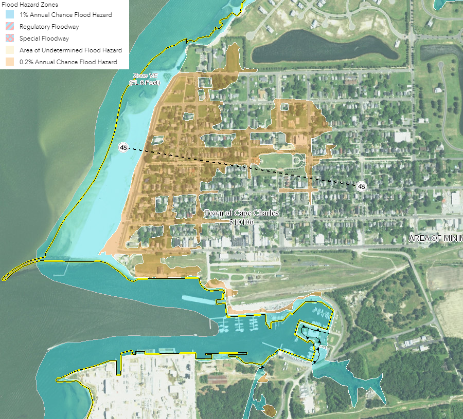
flooding risk at Town of Cape Charles
Source: Federal Emergency Management Agency (FEMA), National Flood Hazard Layer (NFHL) Viewer
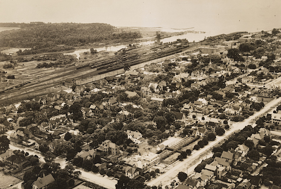
New York, Philadelphia and Norfolk Railroad yard at Cape Charles (January 28, 1925)
Source: National Archives, Virginia - Blue Ridge Mountains through Cape Charles
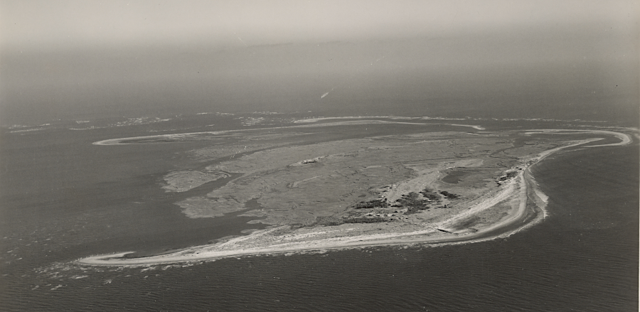
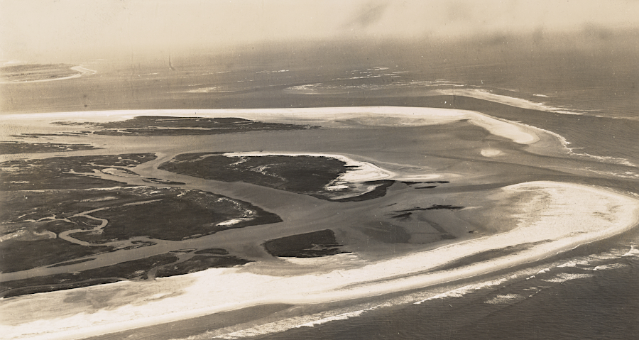
Fisherman's Island was used as a bombing range for pilots flying from Langley Field
Source: National Archives, Virginia - Fisherman's Island and the Issacs (1941)