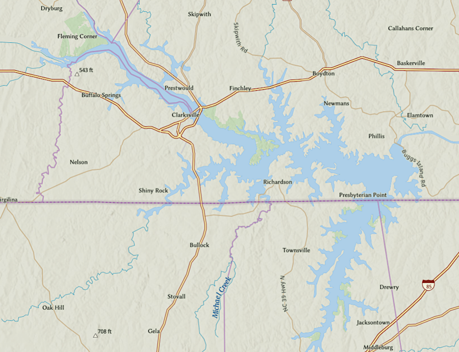
Buggs Island Lake/Kerr Reservoir is located along the Virginia-North Carolina border
Source: ESRI, ArcGIS Online

Buggs Island Lake/Kerr Reservoir is located along the Virginia-North Carolina border
Source: ESRI, ArcGIS Online
The US Army Corps of Engineers dammed the Roanoke River, with construction starting in 1947 and finishing in 1952. The new reservoir was justified primarily by flood control and hydropower generation benefits.
The reservoir has become a major recreational attraction as well, increasing tourism to Mecklenburg County and Clarksville in particular. Large motorboats are a common sight on US 58 now.1
The Bugg's Island Project ended up being renamed in 1952 after a North Carolina member of the US House of Representatives, John H. Kerr. He was instrumental in getting the project authorized in 1944 as part of the Pick-Sloan Flood Control Act.
A decade earlier, the Corps of Engineers had not advocated for funding the 17 possible projects which it had identified in the Roanoke River watershed. The Federal agency had determined that costs exceeded benefits, and elected officials in the US Congress from Virginia were not champions of increasing the costs of the Federal government.
A major flood in August, 1940 devastated farmers and industry in the Roanoke River valley. That shifted opinions, and after restudying the watershed the Corps recommended 11 projects. It ended up getting funding to build two. Philpott Dam was completed on the Smith River, an upstream tributary of the Roanoke River. Kerr Dam was built across the main stem of the Roanoke River, just upstream from Buggs Island.1
For over 50 years, Virginia officially referred to Buggs Island Lake rather than Kerr Reservoir. When the Corps of Engineers first authorized the flood control project in 1944, it was called the Buggs Island Reservoir, based on the historic name for an island near the dam site.

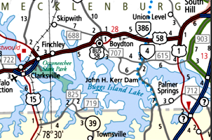
to the Virginia Department of Transportation, it is "Buggs Island Lake"
Source: State Highway Map
Credit for getting funding for the US Army Corps of Engineers to build the dam goes to a North Carolina member of the US House of Representatives, John H. Kerr. In 1952, the US Congress named the project the John H. Kerr Dam and Reservoir.
Virginia politicians were already upset by the loss of property in Virginia for a reservoir to supply flood control for communities downstream in North Carolina. Since the dam and 75% of the reservoir were in Virginia, the state's officials thought a Virginia-based place name was more appropriate than honoring a North Carolina politician. In a fit of pique after the US Congress changed the project's name, the Virginia General Assembly unanimously passed a resolution declaring Virginia would "forever more" describe it as Buggs Island Lake.2
By 2015 Mecklenburg County officials wanted the state to use "Kerr" in marketing materials in order to increase tourism, so a local State Senator had the General Assembly modify the limit on using "Kerr Reservoir." His bill, SB 972, declared:3

Virginia agencies such as the Virginia Department of Game and Inland Fisheries (now Department of Wildlife Resources) refer to the reservoir first as Buggs Island Lake
Source: Virginia Department of Game and Inland Fisheries (2010)

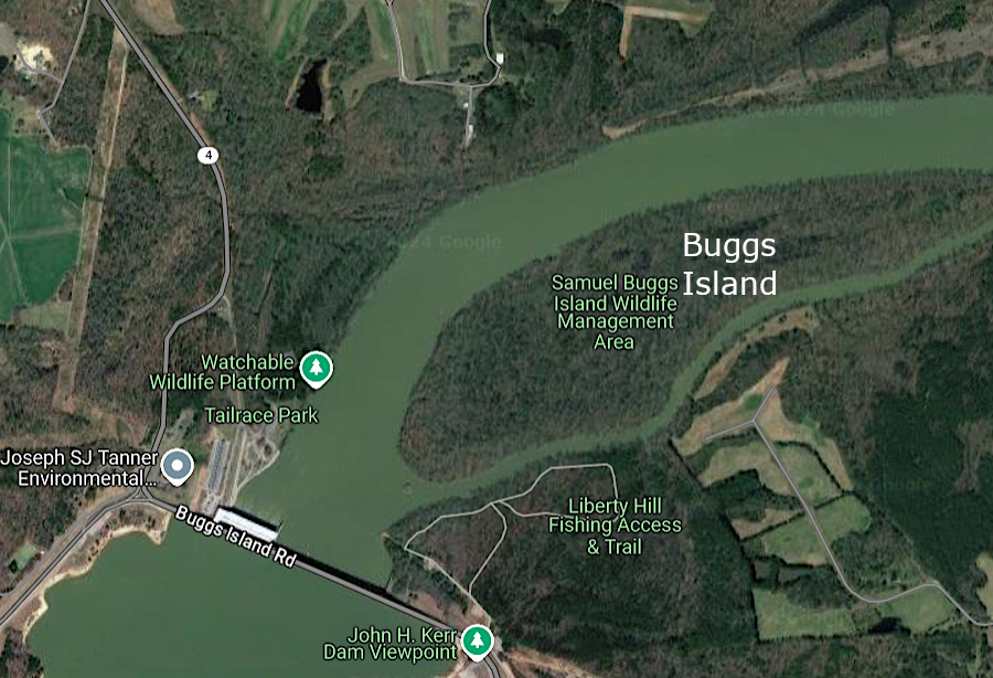
Buggs Island Road crosses Kerr Dam just upstream from Buggs Island
Source: Google Maps

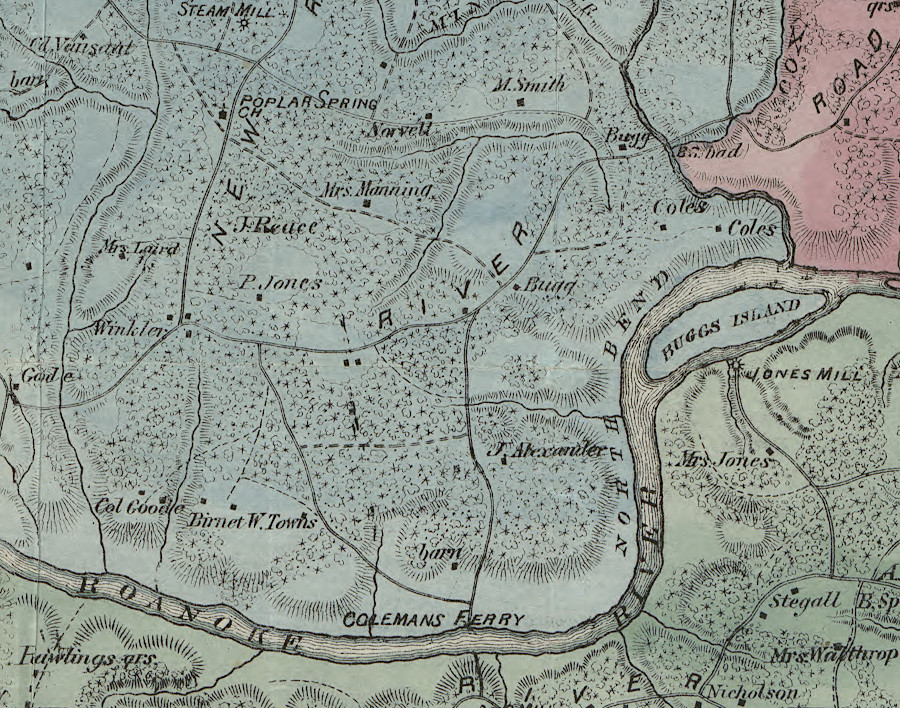
the Kerr Dam was completed in 1952 just upstream of Buggs Island
Source: Library of Congress, Map of Mecklenburg County, Virginia (by George B. Finch, 1870)
Source: Virginia Department of Wildlife Resources, True Wildlife Crime: The Striped Bass Bust at Kerr Dam