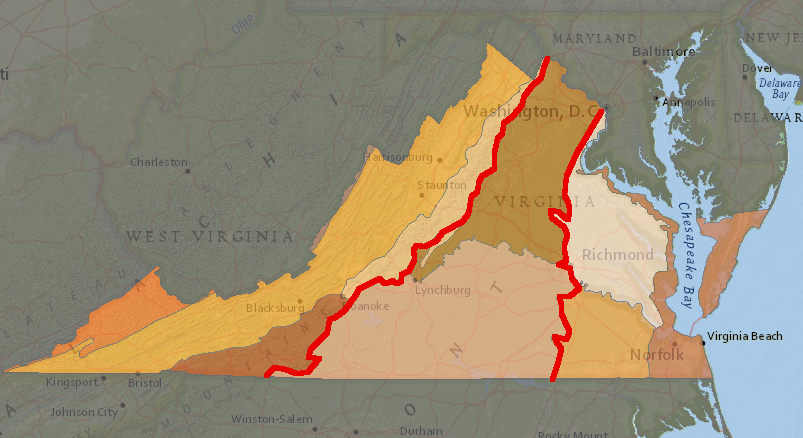
the Piedmont is located between the Blue Ridge on the west and the Coastal Plain on the east
Source: Virginia Department of Conservation and Recreation (DCR), Virginia Natural Heritage Data Explorers

the Piedmont is located between the Blue Ridge on the west and the Coastal Plain on the east
Source: Virginia Department of Conservation and Recreation (DCR), Virginia Natural Heritage Data Explorers
The eastern edge of the Piedmont is the Fall Line, a zone of waterfalls where rivers drop 50-100 feet in elevation. The western edge is the Blue Ridge. The physiographic region stretches 1,000 miles from Alabama to New York.1
Starting in the Archaic Period 3,000 years ago, the Piedmont in Virginia appears to have been occupied by different Native American cultures than those located on the Coastal Plain east of the Fall Line. Anadromous eels could swim upstream past the waterfalls into the Piedmont, but the Fall Line marked a boundary where the rich protein resources from fish, oysters, and crabs in Tidewater were off-limits to those living in the Piedmont.
When the English colonists arrived over 400 years ago, Siouan-speaking groups lived in Virginia's portion of the Piedmont. Algonquian-speaking groups lived east of the Fall Line, with the Iroquoian-speaking Meherrin and Nottoway in southeast Virginia in the Chowan River watershed.

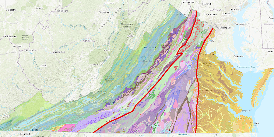
the Piedmont is located between the Blue Ridge on the west and the Coastal Plain on the east
Source: Virginia Energy, Geology Mineral Resources

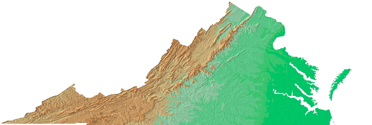
relief map of Virginia
Source: US Geological Survey Open File Report 99-11, Color Shaded Relief Map of the Conterminous United States