John Smith was captured while exploring the Chickahominy River in 1607, and then "rescued" by Pocahontas
Source: US Geological Survey (USGS), Streamer
John Smith was captured while exploring the Chickahominy River in 1607, and then "rescued" by Pocahontas
Source: US Geological Survey (USGS), Streamer
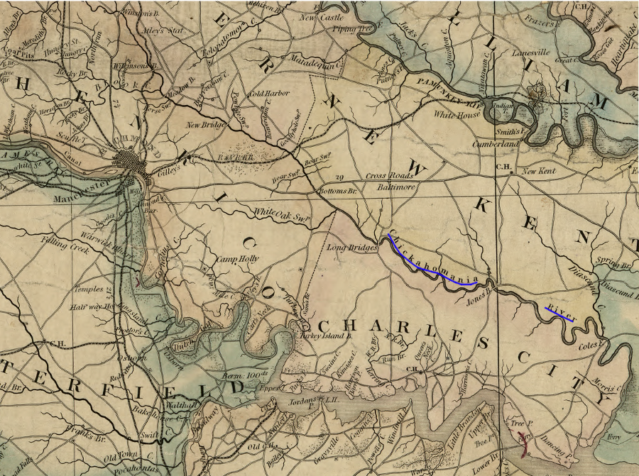
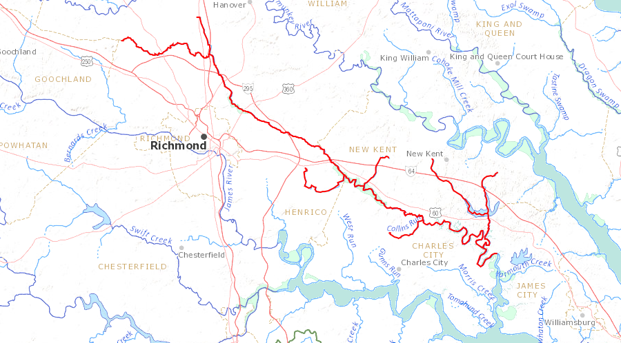
the Chickahominy River watershed includes land west of Richmond, as well as the area between Richmond and Ashland
Source: Library of Congress, A map of the state of Virginia, constructed in conformity to law from the late surveys authorized by the legislature and other original and authentic documents (1859)
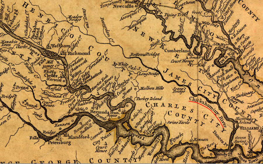
the 1755 Fry-Jefferson map of Virginia shows the Chickahominy River
Source: Library of Congress, A map of the most inhabited part of Virginia containing the whole province of Maryland with part of Pensilvania, New Jersey and North Carolina (by Joshua Fry and Peter Jefferson, 1755)
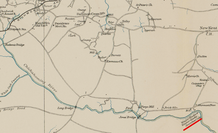
during the Civil War, Union cartographers mapped the steamboat landing furthest up the Chickahominy River
Source: US War Department, Atlas to accompany the official records of the Union and Confederate armies, Southeastern Virginia and Fort Monroe Showing the Approaches to Richmond and Petersburg (1862)
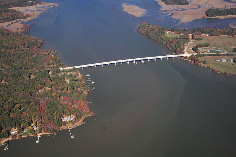
Route 5 and the Virginia Capital Trail bikeway cross the Chickahominy River at its mouth
Source: Virginia Department of Transportation, Judith Stewart Dresser Memorial Bridge