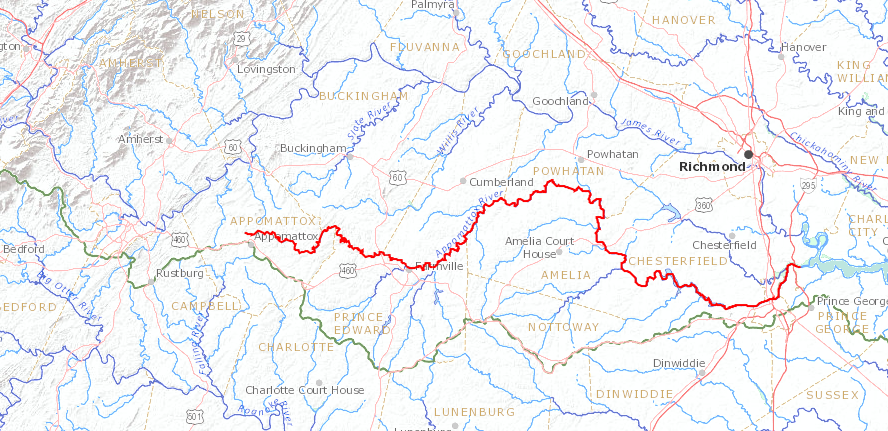
the Appomattox River flows east to its confluence with the James River
Source: US Geological Survey (USGS), Streamer

the Appomattox River flows east to its confluence with the James River
Source: US Geological Survey (USGS), Streamer
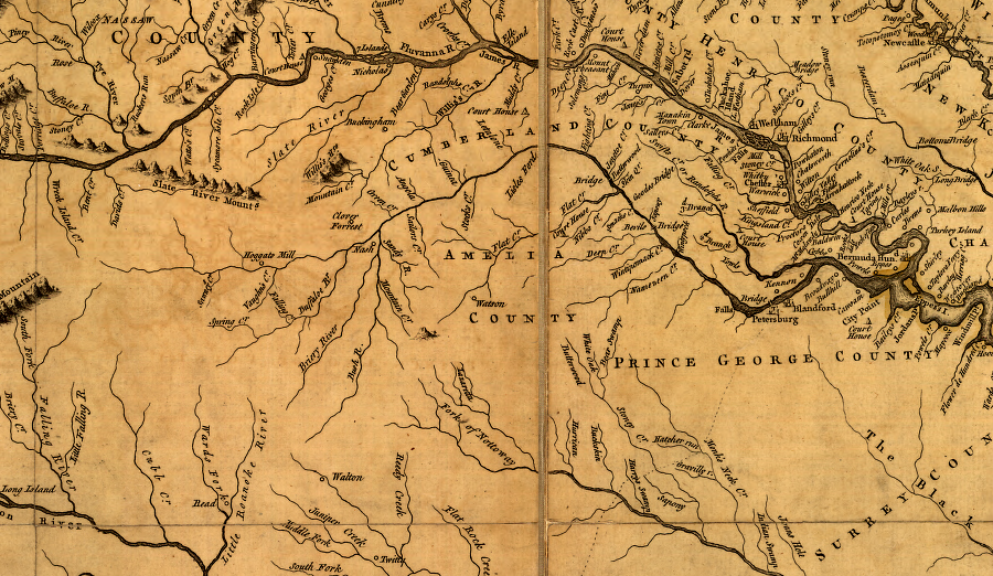
the Appomattox River, south of the James River, as depicted in 1755
Source: Library of Congress, A map of the most inhabited part of Virginia containing the whole province of Maryland with part of Pensilvania, New Jersey and North Carolina (by Joshua Fry and Peter Jefferson, 1755)
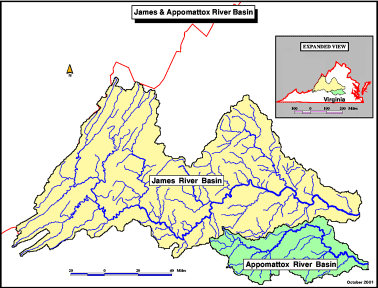
James and Appomattox watersheds
Source: Middle Atlantic River Forecast Center
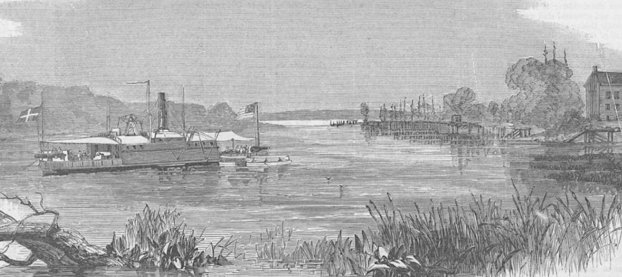
in the Civil War, Union ships brought supplies to the Appomattox River to support the siege of Petersburg in 1864-65
Source: HathiTrust, Harper's Weekly, View on the Appomattox, Below Port Walthall (July 23, 1864, p.468)
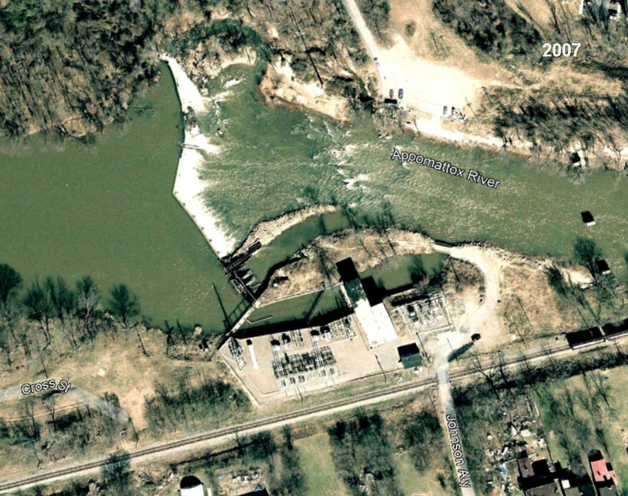
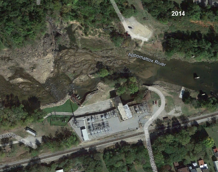
Harvell Dam, upstream of Route 1 in 2007, was removed in 2014 to facilitate passage of anadromous fish
Source: Google Earth
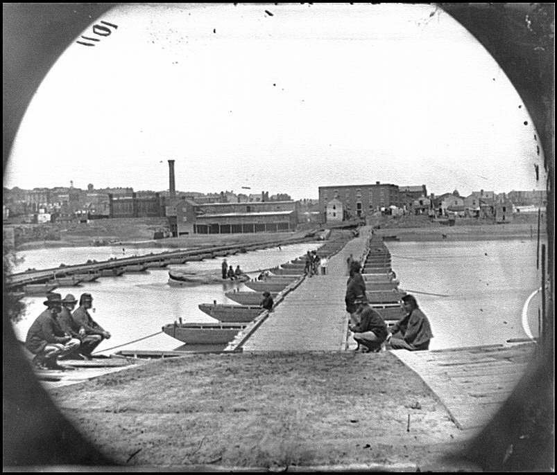
during the 1864-65 siege of Petersburg, the Union Army built pontoon bridges across the Appomattox River
Source: Library of Congress, Petersburg, Va. Pontoon bridges across the Appomattox River (photographer Timothy O'Sullivan, May 1865)
![]()
the English were not always consistent in the spelling of the Native American name
Source: Library of Congress, The United States of America laid down from the best authorities, agreeable to the Peace of 1783 (by John Wallis, 1783)