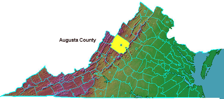
Augusta County, surrounding the independent cities of Staunton and Waynesboro
Map Source: Ray Sterner, Color Landform Atlas of the United States

Augusta County, surrounding the independent cities of Staunton and Waynesboro
Map Source: Ray Sterner, Color Landform Atlas of the United States
During the reign of George I-George III from 1714-1830, the future kings of England were forbidden to marry English royalty or Catholics. German princesses were the most suitable source for wives. Frederick, oldest son of King George II, married Augusta of Saxe-Gotha in 1735. Princess Augusta never became queen of England. Her husband died before George II, but her son was chosen to replace him and became George III.1
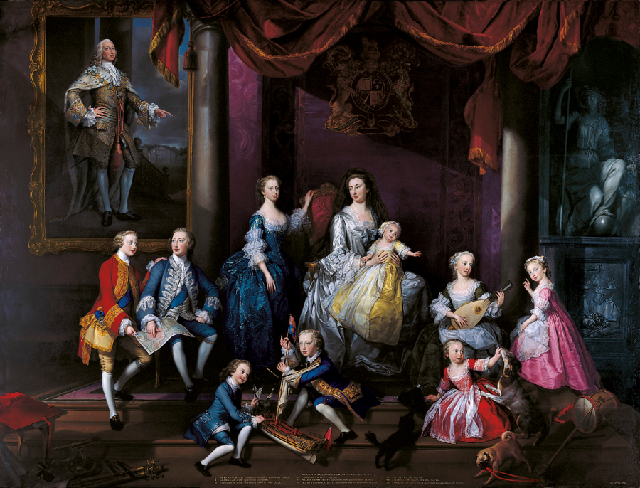
Princess Augusta with her family, wearing a mourning veil after death of Prince Frederick (shown in painting on wall)
Source: Royal Collection Trust, The Family of Frederick, Prince of Wales (1751)
In 1738, the colonists in Virginia honored Frederick and his wife Augusta (the Princess of Wales) by naming two new counties after them, Frederick and Augusta.

Augusta County was named to honor Augusta of Saxe-Gotha, who married the older son of King George II and was mother of King George III
Source: National Portrait Gallery (United Kingdom), Augusta of Saxe-Gotha, Princess of Wales
Both Frederick and Augusta counties were so far on the edge of development that it took until 1743 for Frederick to have enough tithables to operate. Augusta was located further south, so population growth from migrants walking from Pennsylvania into the Shenandoah Valley took longer. Augusta began to operate with its own courthouse at Staunton in 1745. For the seven years between 1738-1745, residents of Augusta had to keep on traveling to the Orange County court to probate wills, record deeds for land, and try civil or criminal suits.
The General Assembly initially left the boundary on Augusta's western edge undefined. Based on the grant to the Virginia Company in the 1609 Second Charter issued by James II, the county stretched "up into the Land throughout from Sea to Sea, West and Northwest."2
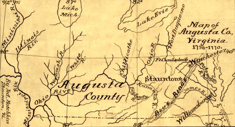
Augusta County extended to the Mississippi River between 1738-1778
Source: Library of Congress, Map of Augusta Co., Virginia, 1738-1770 (map by Jedediah Hotchkiss)
The oversized Augusta County was gradually reduced by the creation of new jurisdictions. The District of West Augusta was carved out in 1774. It was designated as a district, not a "county," to avoid violating the Proclamation of 1763. After Virginia declared independence in 1776, the General Assembly created Monongalia, Yohogania and Ohio counties from that district.
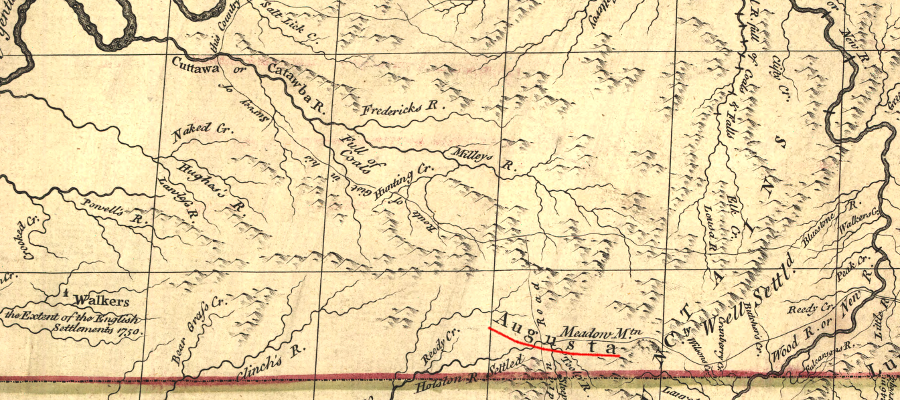
when John Mitchell produced his map during the French and Indian War to establish English claims to North America, all of Southwest Virginia and Kentucky was part of Augusta County
Source: Library of Congress, A map of the British and French dominions in North America (map by John Mitchell, 1755)

the Oak Grove Theater west of Verona hosts an annual folk music festival, with regular performances by Robin and Linda Williams
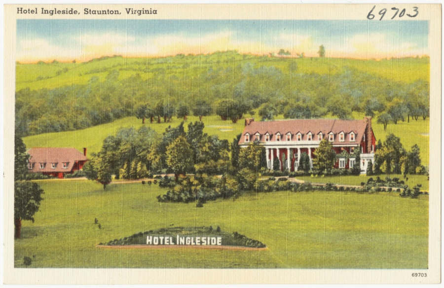
a large hotel was located near the intersection of Route 11 and Route 250 outside of Staunton prior to 1945
Source: Boston Public Library, Tichnor Brothers Postcard Collection, Hotel Ingleside, Staunton, Virginia