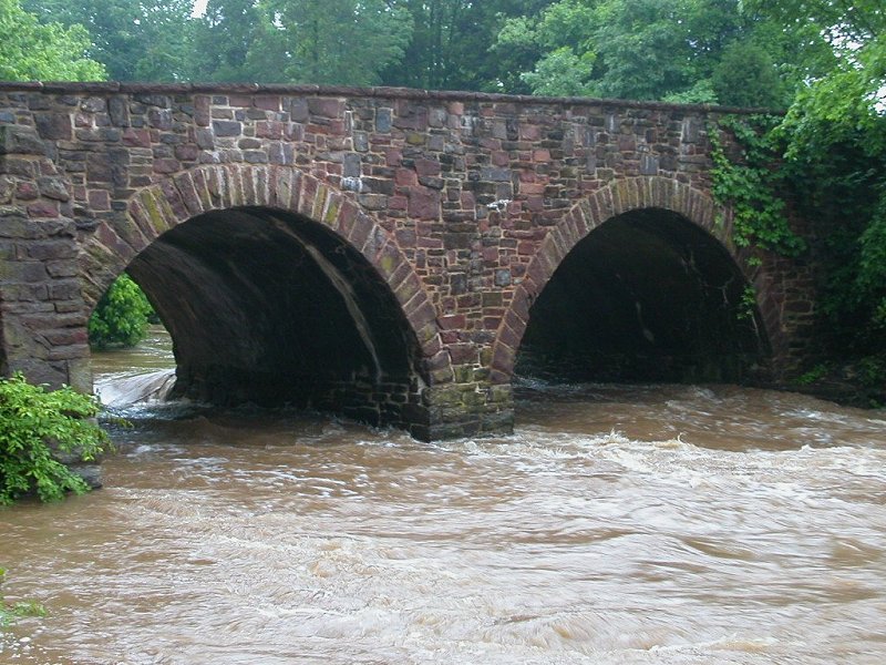
Stone Bridge over Bull Run, built originally for Alexandria-Warrenton Turnpike
Stone Bridge over Bull Run, built originally for Alexandria-Warrenton Turnpike
The first turnpike was in Pennsylvania. It is PA Route 340 today, the highway from Philadelphia west to Lancaster. The historic Philadelphia and Lancaster Turnpike is a "free" road now - there are no tolls now, and no pikes (poles) to turn and allow travelers to continue after paying the toll.
The Philadelphia and Lancaster Turnpike was a farm-to-market road, bringing food from the limestone farm country on Pennsylvania to the big city. The laid-back, take-it-easy advertisements for Turkey Hill ice cream, which is made in Lancaster, suggest that "rush hour" is two kids walking without a care on a country road. The ads make an obvious contrast to the hectic urban lifestyle, portraying ice cream as a way to reduce the stress from traffic and urgency.
The Amish are still a major presence there, as shown in the movie "Witness." Their horse-drawn carriages ride on the wide shoulders of the highway, but their crops are still shipped to the city on the old turnpike. The modern Pennsylvania Turnpike was built a little further north of PA Route 340, partially on the bed of an unfinished railroad.1
In Virginia, Little River Turnpike (Route 236 from Alexandria to Jermantown west of the City of Fairfax, and then US 50 west to the Bull Run Mountains) is often credited with being the second turnpike in America.2
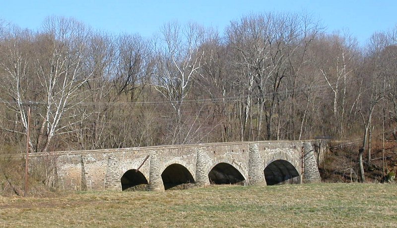
Goose Creek Bridge, built 1802 on Ashby's Gap Turnpike
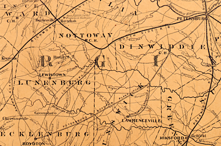
in 1861, plank roads as well as railroads allowed Southside farmers to get crops to market
Source: Library of Congress, Colton's new topographical map of the eastern portion of the state of North Carolina with part of Virginia & South Carolina (by Joseph H. Colton, 1861)
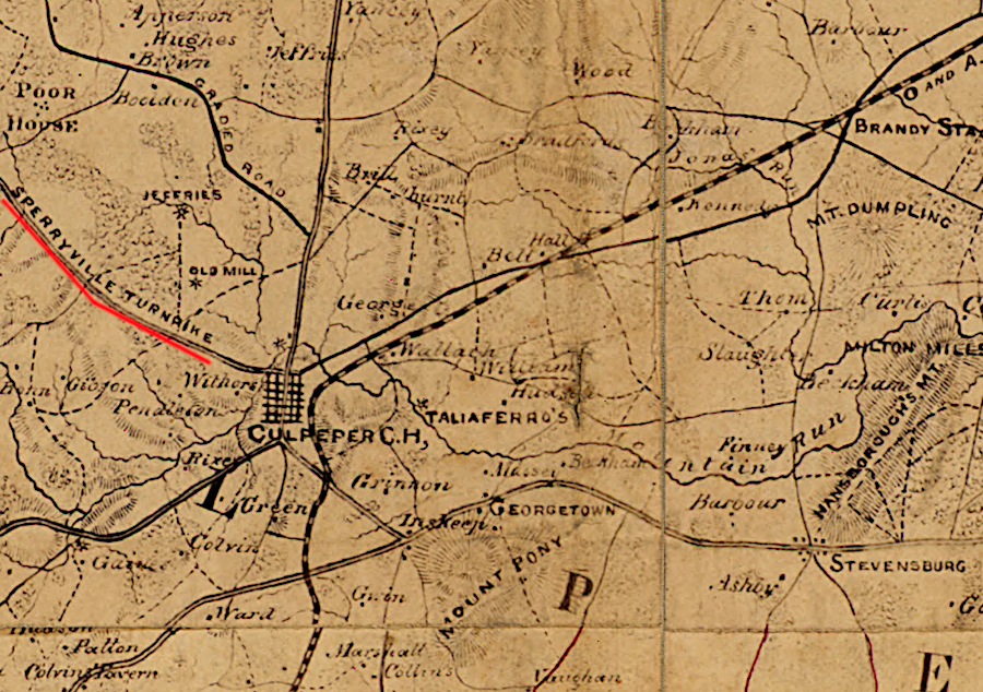
Page Valley farmers could use the Sperryville Turnpike to cross the Blue Ridge and get to the Orange and Alexandria Railroad at Culpeper
Source: Library of Congress, Preliminary map of northeastern Virginia, south of the Rappahannock, east of the Blue Ridge, and north of 38⁰ N. Lat.
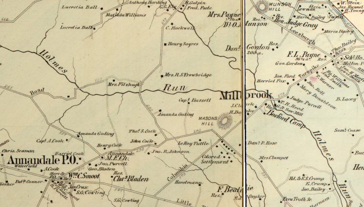
Columbia Pike was constructed to divert traffic on the Little River Turnpike, so the District of Columbia could intercept traffic headed to Alexandria
Source: Library of Congress, Atlas of fifteen miles around Washington (by G. M. Hopkins)