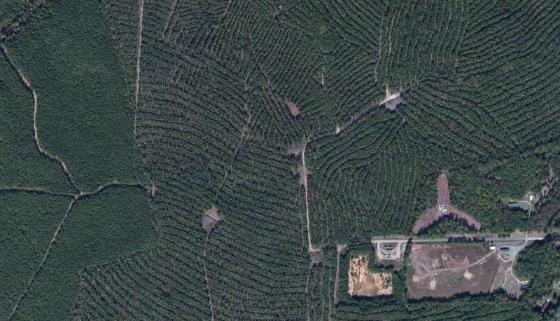
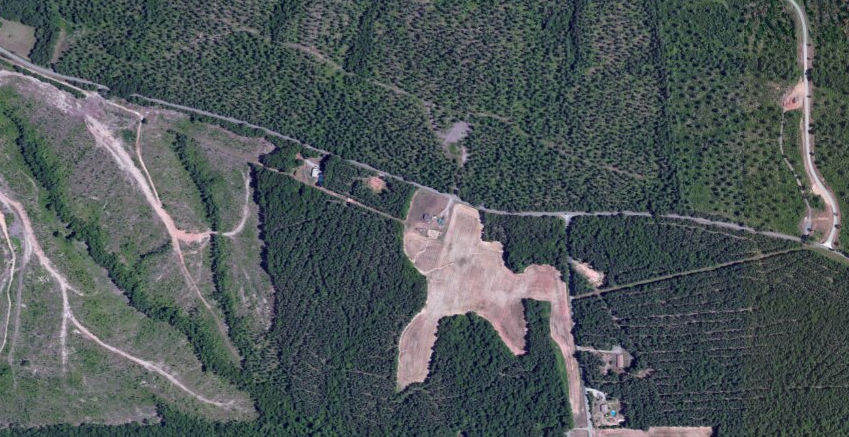
managed forests in Charles City County, next to Old Landfill (Munford Road Convenience Center) in Providence Forge
Source: ESRI, ArcGIS Online
managed forests in Charles City County, next to Old Landfill (Munford Road Convenience Center) in Providence Forge
Source: ESRI, ArcGIS Online
Foresters can estimate the rate of tree growth in Virginia's climate, and on the soils of lands owned by a timber company. Foresters can then schedule timber cutting on their particular properties so each year, they harvest a particular percentage of the woods owned by the company.
If a forester plans on a 100 year cycle of sustained flow of timber, then trees on 1% of the land would be cut annually. After 100 years, the trees have regrown on the first 1% and the forest is "ripe" for harvest again.
A 100-year regrowth cycle would be realistic for a hardwood forest growing oak and hickory trees for furniture, especially if the landowner intends to generate income from recreational use by leasing the rights to a hunting club interested in deer and turkey hunting. Hardwood forests offer revenue opportunities from activities other than harvest of wood fiber.
Such a long cycle would be far too conservative for a pine forest, Pines grow much faster in the coastal plain, compared to oaks and hickories in the mountainous regions. For some species and in warmer climates, the rotation can be as fast as 10 years. Foresters near the West Point or Franklin pulp mills can harvest a crop of pine trees perhaps once a decade - not as fast as farmers harvesting corn or peanuts once a year, or cutting hay two-three times a year, but trees take longer to reach commercial size...
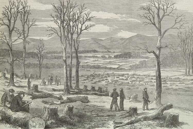
Civil War soldiers leveled forests near winter encampments
Source: Illustrated London News, The War in America: Winter Quarters of the Left Wing of the Confederate Army on the Rapidan (April 2, 1864)
There are key differences between areas that are covered with trees. A close look at a forest can identify if it's a "natural" area... or perhaps should be classified separately as "commercial forest."
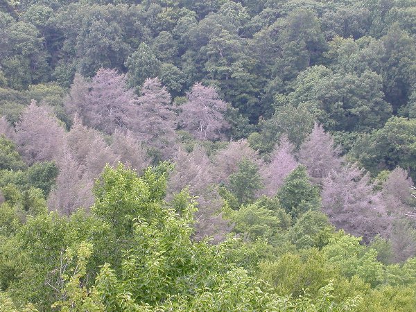
dying hemlocks at Warspur Trail in Giles County
In the 1980's and 1990's, the Federal Geographic Data Committee struggled with the different proposals for mapping standards used to portray the national forests. Some people considered the commercial forest lands to be primarily agricultural, especially the pine plantations where trees were harvested every 7-15 years for pulpwood. According to their recommendations, the corn fields and pine plantations would be lumped into one category on maps. This category would be distinct from parks and wilderness areas.
Others advocated mapping forests by land cover rather than land use. According to that approach, areas covered in trees would be colored consistently on maps, lumping them in one category and obscuring the distinction between the commercial and non-commercial forest areas. (When the harvest rotation was every 100 years rather than every 7-15 years, the distinctions between the types of forests were much harder to define...)
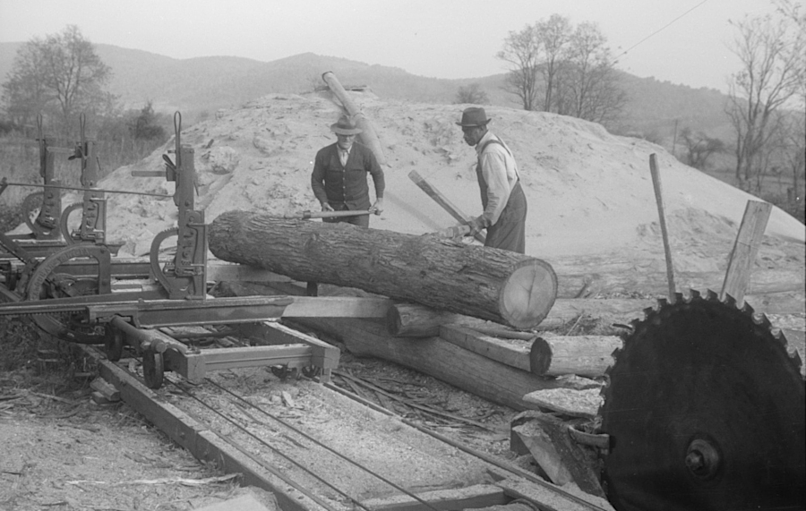
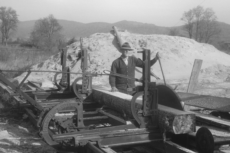
processing trees into lumber in the Shenandoah Valley, 1941
Source: Library of Congress, Scenes of the northern Shenandoah Valley, including the Resettlement Administration's Shenandoah Homesteads and second image (by Ben Shahn, 1941)
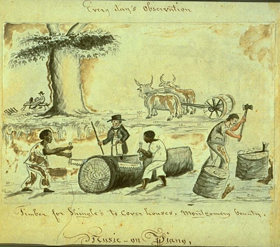
converting a tree to lumber and shingles was hard work before the invention of powered saws
Source: Slavery Images: A Visual Record of the African Slave Trade and Slave Life in the Early African Diaspora, Cutting Timber, Virginia, 1850s
timber sales are used to clear land for training ranges at Fort A. P. Hill
Source: US Army Corps of Engineers, Norfolk District foresters manage unique Army program
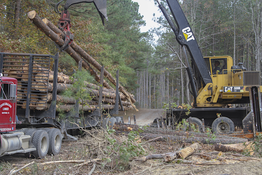
skidders drag logs from the woods to a stockpile ("cold deck")
Source: US Army Corps of Engineers, Norfolk District foresters manage unique Army program
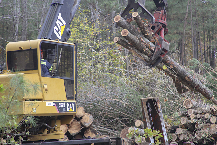
specialized equipment is used to load logs from the cold deck onto trucks going to the mill
Source: US Army Corps of Engineers, Norfolk District foresters manage unique Army program
cedars were removed to enhance grassland habitat at Occoquan Bay National Wildlife Refuge
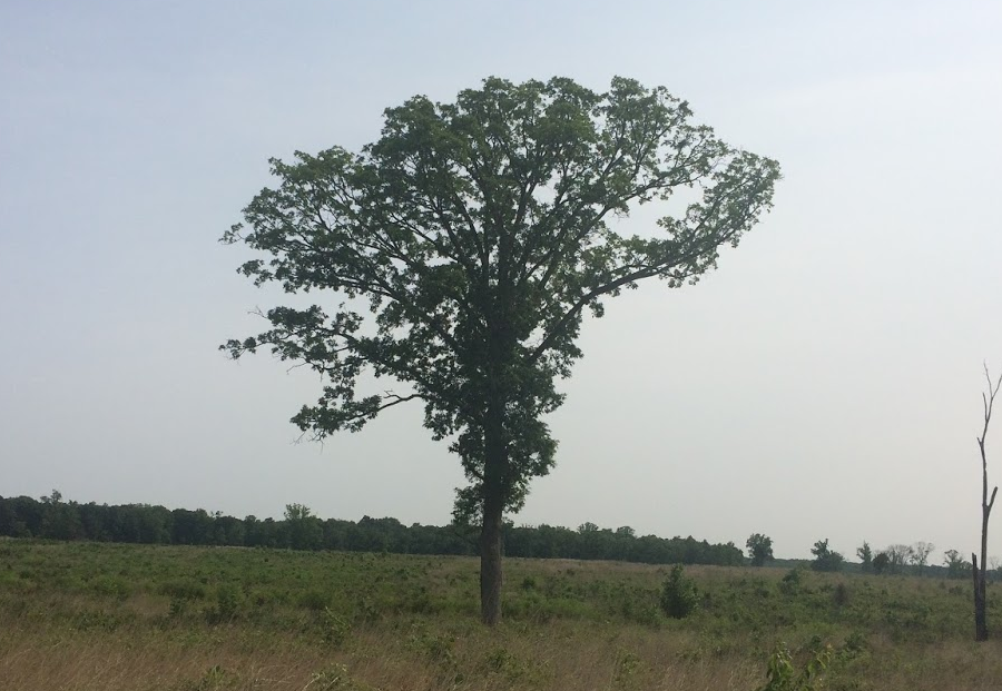
this oak tree grew in a forest and dropped its lower branches, before the area around it was cleared and exposed to full sunlight
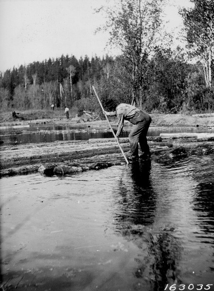
before railroads arrived, logs were floated to market
Source: National Archives, Photograph of Virginia and Rainy Lake Lumber Company Log Driving Scene
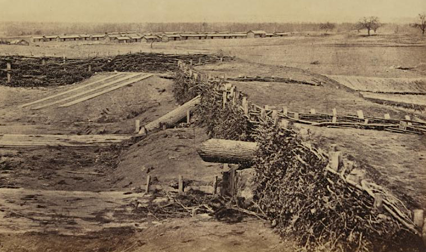
tree trunks were large enough in 1862 to be used as fake (Quaker) cannon
Source: Gardner's Photographic Sketch Book of the War, Quaker Guns, Centerville Virginia, March, 1862 (No.6)
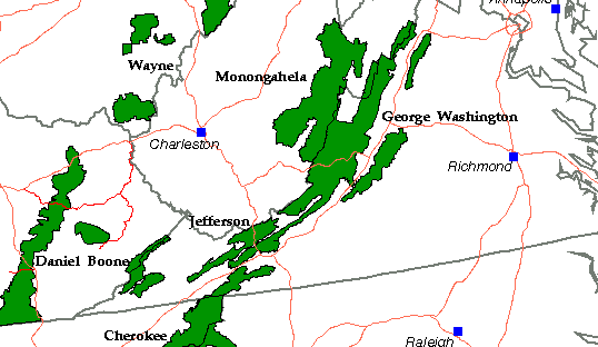
locations of national forests
Source: US Forest Service
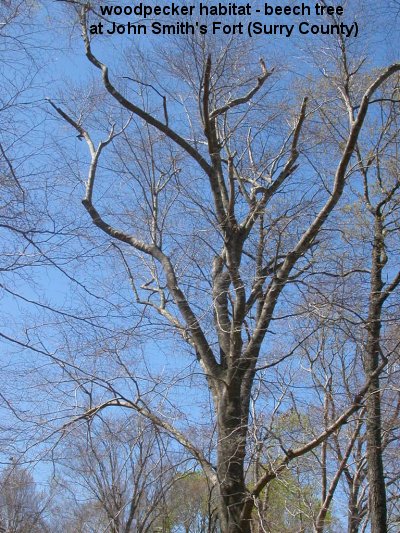
beech tree (red-bellied woodpecker home)
managed forestland in Goochland County
Source: ESRI, ArcGIS Online