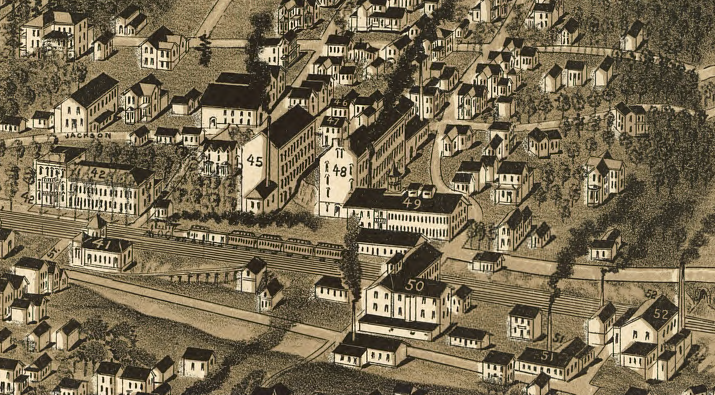
the town of Bedford is halfway between Lynchburg on the east and Roanoke to the west, on the line of the Virginia and Tennessee Railroad constructed in the 1850's
Source: Library of Congress, Perspective map of Bedford City, Va., county seat of Bedford Co. 1891
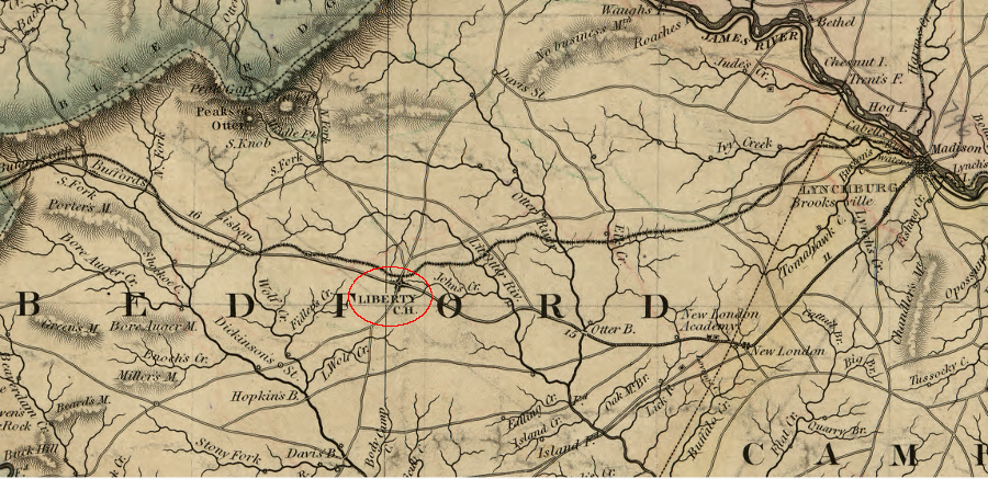
the town of Bedford was originally called Liberty Court House
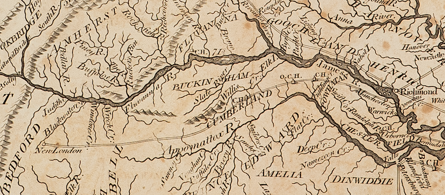
Source: Library of Congress, A map of the state of Virginia, constructed in conformity to law from the late surveys authorized by the legislature and other original and authentic documents (1859)
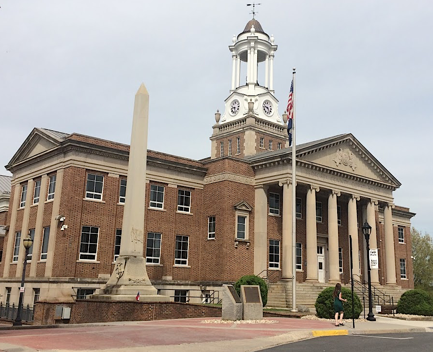
Bedford County Courthouse, with memorial to Confederate soldiers on the left
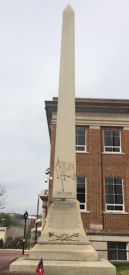
memorial to Confederate soldiers at the Bedford County Courthouse
in 1794, New London was the end of the road from Richmond
Source: American Philosophical Society, State of Virginia from the best Authorities by Samuel Lewis, 1794

Fall pumpkins on US 24 near Roanoke
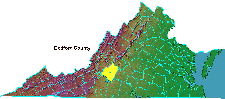
Bedford County, at the base of the Blue Ridge
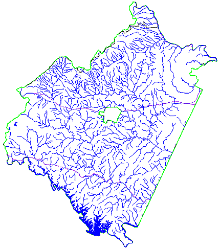
Bedford County streams