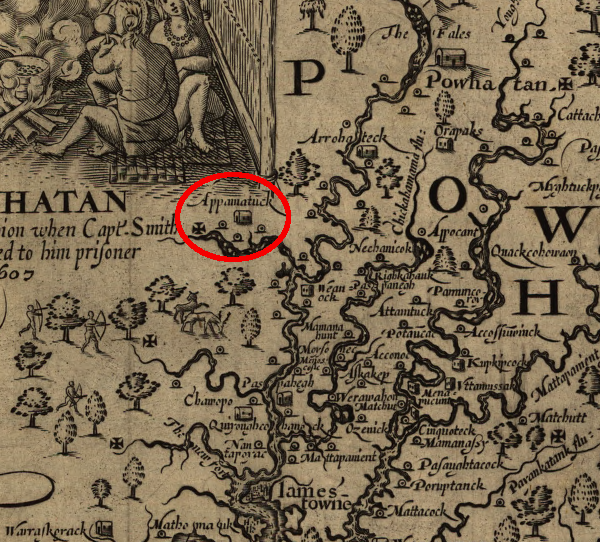
John Smith recorded a town of the Appamattuck tribe where Petersburg was later built
Source: Library of Congress, Virginia / discovered and discribed by Captayn John Smith, 1606 (p.245)

John Smith recorded a town of the Appamattuck tribe where Petersburg was later built
Source: Library of Congress, Virginia / discovered and discribed by Captayn John Smith, 1606 (p.245)
The Appamattuck were the first people documented as living at the current site of Petersburg. In 1607 John Smith met the "young and comely" Opossunoquonuske, the female chief (weroansqua) who owed allegiance to Powhatan as a member of his paramount chiefdom. By 1610, the colonists and Appamattuck were no longer friendly traders. After a group of colonists were killed by Opossunoquonuske's warriors, the colonists burned the town. In 1611, Sir Thomas Dale located Henricus nearby on the land of the Arrohateck, and in 1613 displaced the Appamattuck to ocupy Bermuda Hundred.
The first colonial development at the current site of Petersburg was the creation of Fort Henry in 1645, after the 1644 uprising led by the paramount chief and brother of Powhatan, Opechancanough. The frontier fort served as a trading post with Native American tribes to the southwest. After Abraham Wood's son-in-law, Peter Jones, took over the business, the site was named after him.
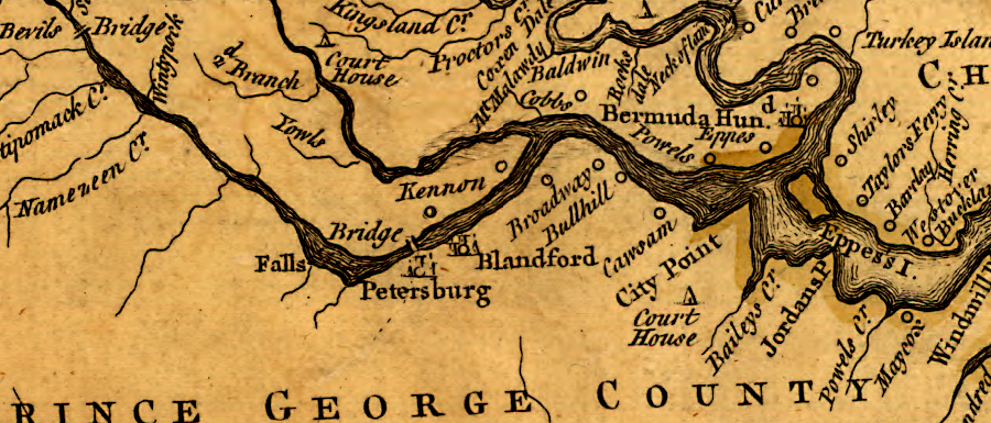
the 1755 Fry-Jefferson map of Virginia shows Petersburg and Prince George County
Source: Library of Congress, A map of the most inhabited part of Virginia containing the whole province of Maryland with part of Pensilvania, New Jersey and North Carolina (by Joshua Fry and Peter Jefferson, 1755)
George Washington recognized that Petersburg's location at the confluence of the Appomattox and James rivers was advantageous, but the city would have to compete with Richmond and Hampton Roads. The James River and Kanawha Canal would redirect central Virginia trade to Richmond, while the Dismal Swamp Canal would redirect Roanoke River trade to Portsmouth/Norfolk.
President Washington stopped in Petersburg during his 1791 southern tour from Philadelphia to Savannah, recording in his diary:1
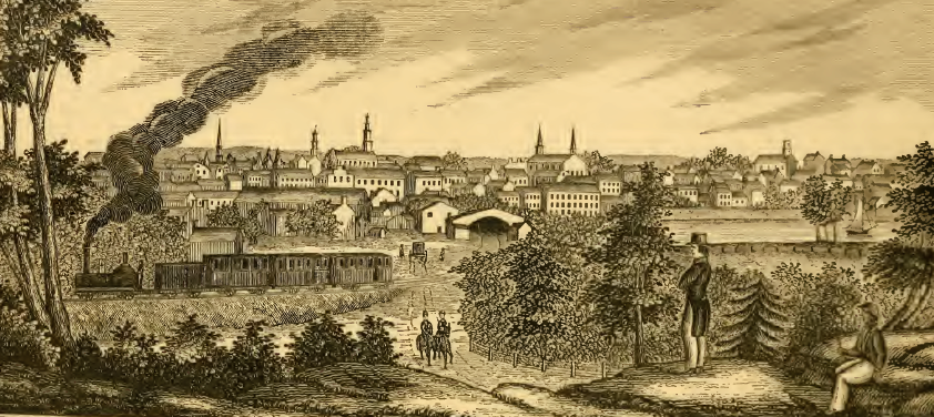
Petersburg became a railroad center, starting with the Richmond and Petersburg Railroad in 1838
Source: The Photographic History of the Civil War, Petersburg (p.245)
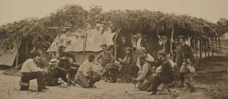
Union officers entertained themselves during the 1864-65 siege at Petrsburg by watching a cockfight
Source: Library of Congress, General Willcox's headquarters, in front of Petersburg, VA
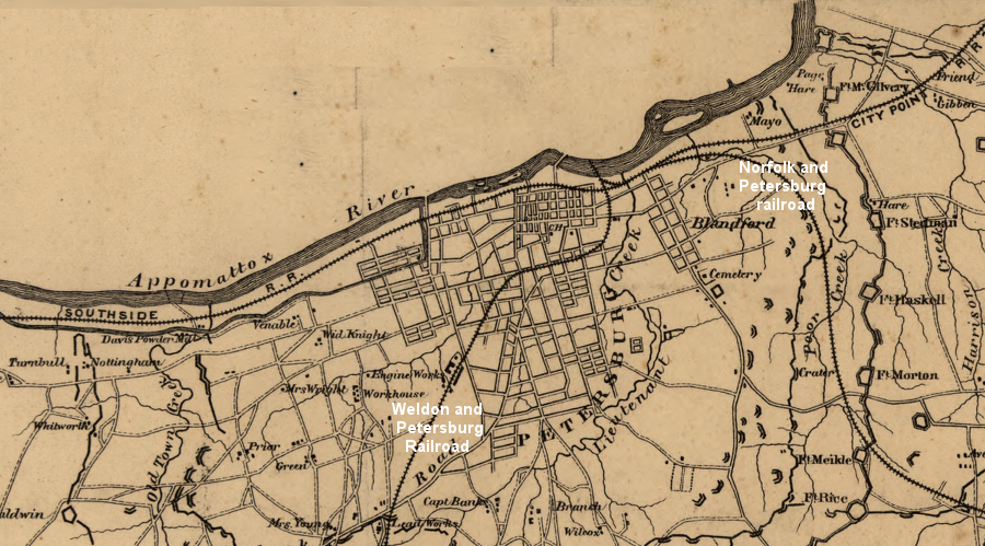
Petersburg developed as a transportation center at the Fall Line of the Appomattox River
Source: Library of Congress, Sketch of the entrenched lines in the immediate front of Petersburg (1864-5)
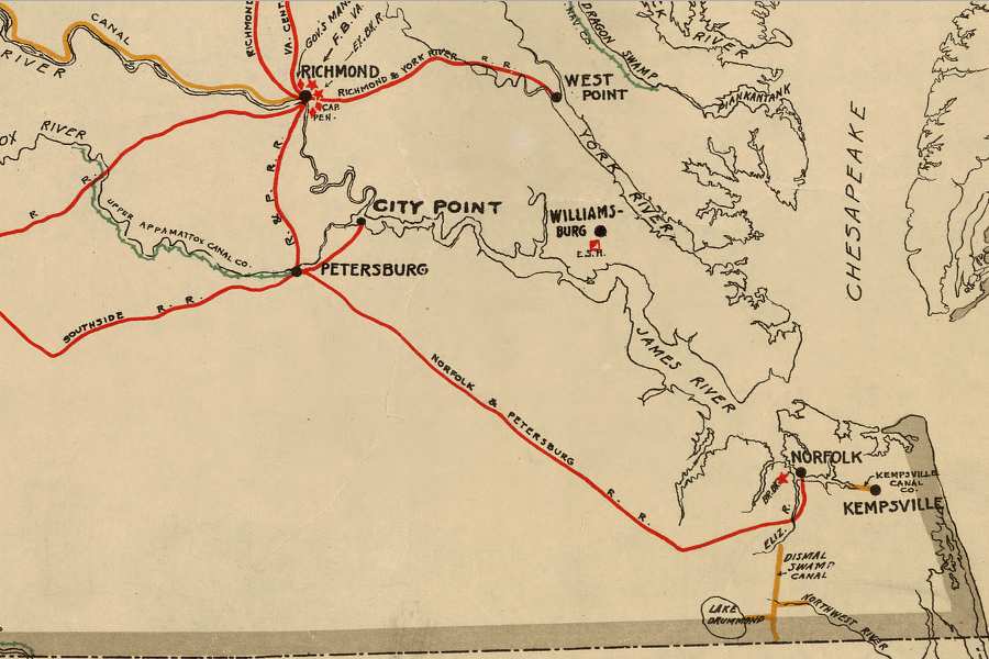
by 1861, the state of Virginia had funded railroad connections to Petersburg from multiple directions
Source: Library of Congress, Map showing the location of railroads, canals, navigation projects and public institutions in which the Commonwealth of Virginia had invested money as of date January 1st. 1861
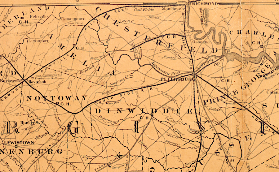
in 1861, Petersburg was a transportation hub with railroads connections in all directions
Source: Library of Congress, Colton's new topographical map of the eastern portion of the state of North Carolina with part of Virginia & South Carolina (by Joseph H. Colton, 1861)
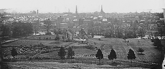
Petersburg in 1865, after Union capture
Source: National Archives, Petersburg, Va
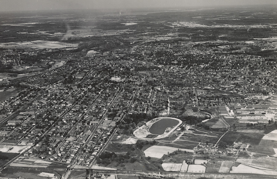
Petersburg in 1941
Source: National Archives, Virginia - Panorama through Petersburg
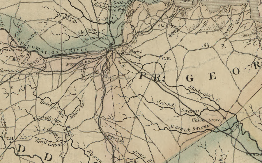
prior to the Civil War, five separate railroads had terminals in Petersburg
Source: Library of Congress, A map of the state of Virginia, constructed in conformity to law from the late surveys authorized by the legislature and other original and authentic documents (1859)
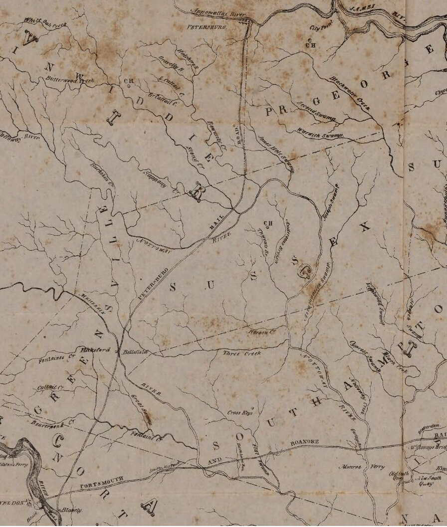
the Petersburg Railroad brought Roanoke River trade north to the Appomattox River
Source: University of Virginia, Plan of the Portsmouth and Roanoke Rail Road