Franklin
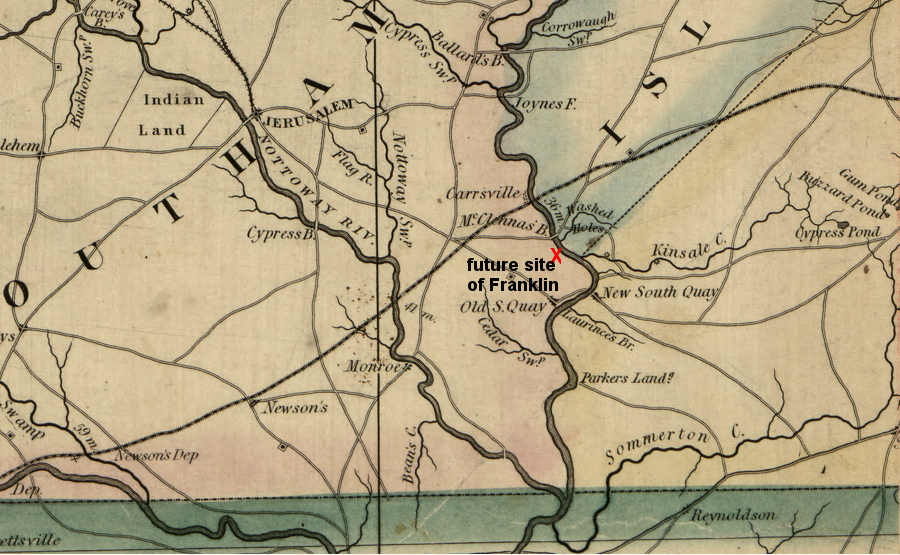
prior to the Civil War, there was no city of Franklin at the confluence of Kinsale Creek and the Blackwater River
Source: Library of Congress, A map of the state of Virginia, constructed in conformity to law from the late surveys authorized by the legislature and other original and authentic documents (1859)
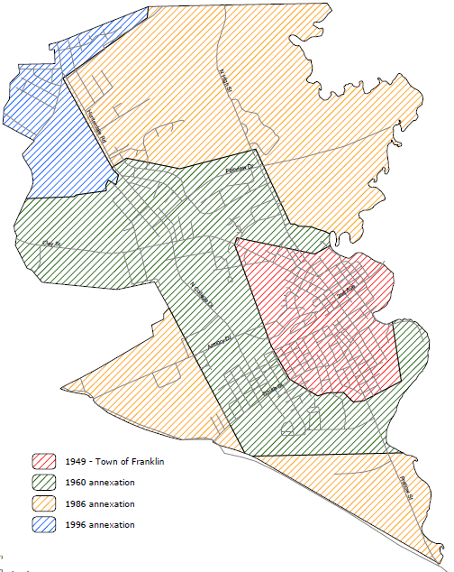
annexations by the Town/City of Franklin
Source: Franklin Comprehensive Plan, FRANKLIN 2010 (November 2005)
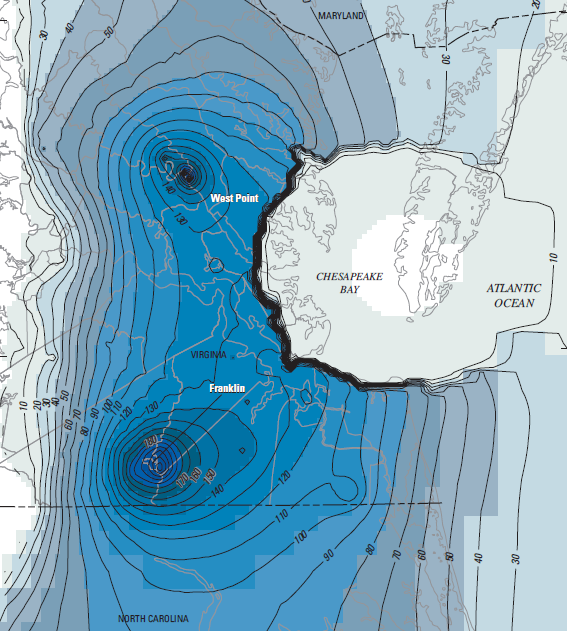
the simulated drawdown of groundwater from predevelopment to 2003, in the Potomac aquifer of the Virginia Coastal Plain, shows the impact of paper millis in Franklin and West Point
Source: US Geological Survey, Simulation of Groundwater Flow in the Coastal Plain Aquifer System of Virginia (November 2005)
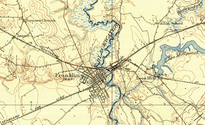
in 1943, the Southern and the Seaboard Air Line railroads serviced the paper millis in Franklin
Source: US Geological Survey (USGS), 1:62,500 topographic quadrangle, Holland, VA (1943)
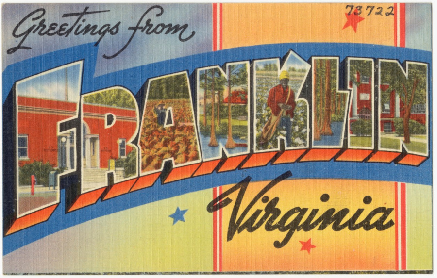
a tourist postcard for Franklin highlighted cotton and cotton pickers
Source: Boston Public Library, Tichnor Brothers Postcard Collection, Greetings from Franklin, Virginia
When Franklin changed status from "town" to "city," John M. Camp was on the Southampton County Board of Supervisors as the elected representive from the Franklin District, the magisterial district which included the town. He did not move his residence after the conversion to city status, so he no longer lived in Southampton County.
Nonetheless he continued to serve on the county board. His right to serve was "grandfathered," even though he lived within the boundaries of an independent city and no longer within the county's Franklin District.1
Links
References
1. "Looking back: Rites held for Camp," The Tidewater News, October 4, 2013, https://www.tidewaternews.com/2013/10/04/looking-back-rites-held-for-camp/ (last checked November 22, 2018)
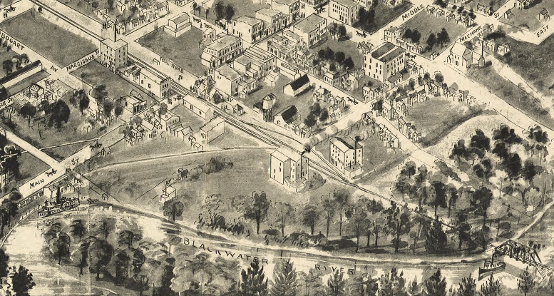
Blackwater River (with steamboats upstream of railroad bridge) and rail station in Franklin (1907)
Source: Library of Congress, Birds eye view of Franklin, Southampton Co., Virginia 1907
Cities and Towns
Geography of Virginia


