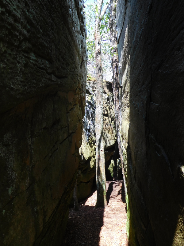
during the Pleistocene, ice and water cracked and eroded the Clinch Sandstone to create a maze known as The Channels on Clinch Mountain
during the Pleistocene, ice and water cracked and eroded the Clinch Sandstone to create a maze known as The Channels on Clinch Mountain
The Tuscarora Sandstone (also known as the Clinch Sandstone and the Massanutten Sandstone) is a layer of rock that averages 75-150 feet thick. It is a major ridge-forming layer of rock in western Virginia and Eastern West Virginia. Bald Knob, Wind Rock, McAfee Knob, Dragon's Tooth, Tinker Cliffs, Gap Mountain, Brush Mountain, and Seneca Rocks in West Virginia are high points because the Tuscarora Sandstone is slower to erode than the adjacent rock formations.
In the 1800's various geologists, working independently from each other, mapped the layer of hard sandstone and assigned it three different names, Geologically, the Tuscarora, Clinch, and Massanutten sandstones are the same formation, but have been assigned separate names.
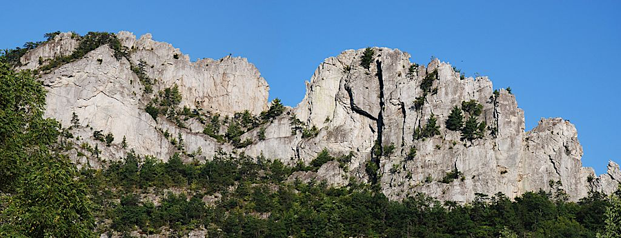
Seneca Rocks demonstrates the relaively slow erosion of Tuscarora Sandstone
Source: Wikipedia, Seneca Rocks (by Jarek Tuszyński)
The Tuscarora Formation is a relatively pure bed of quartz, compressed into sandstone by several cycles of mountain building. In the initial cycle, perhaps 2 billion years ago, a sandy beach was compressed into sandstone and then uplifted into a mountain range. The mountains eroded, and the beach sands created another beach. This second time, the quartz grains had fewer impurities (silt, limestone, feldspar, etc.) mixed in.
Once more, the beach was buried by other sediments, uplifted again, and eroded to form yet a third beach. Each cycle of mountain-building purified the bed of sand, as the slow-dissolving quartz was mechanically segregated from faster-dissolving minerals. The relatively pure bed of quartz appears whiter than most other sandstones in North America, since they are intermixed with other minerals.
After the Taconic orogeny, Virginia was 10 degrees south of the equator. At what is now the western border of the state was a low inland sea, bordered in part by a beach of pure sand. One more time, in the Acadian Orogeny, the beach was buried under what became the Devonian limestones and shales plus the Mississippian sandstones, limestones, shales, and coal
The beach was compacted and heated. Silica melted and glued together the individual grains of sand to form quartzite. In the Alleghenian Orogeny, the Tuscarora Formation was bent and overturned. About 200 million years later, what was originally beach sand has been exposed by erosion for a fourth time. The relatively-pure quartzite still has a distinctive white color. The mechanical properties of the quartizite are degrafed by exposure to sun and water, but still highly resistant to erosion.
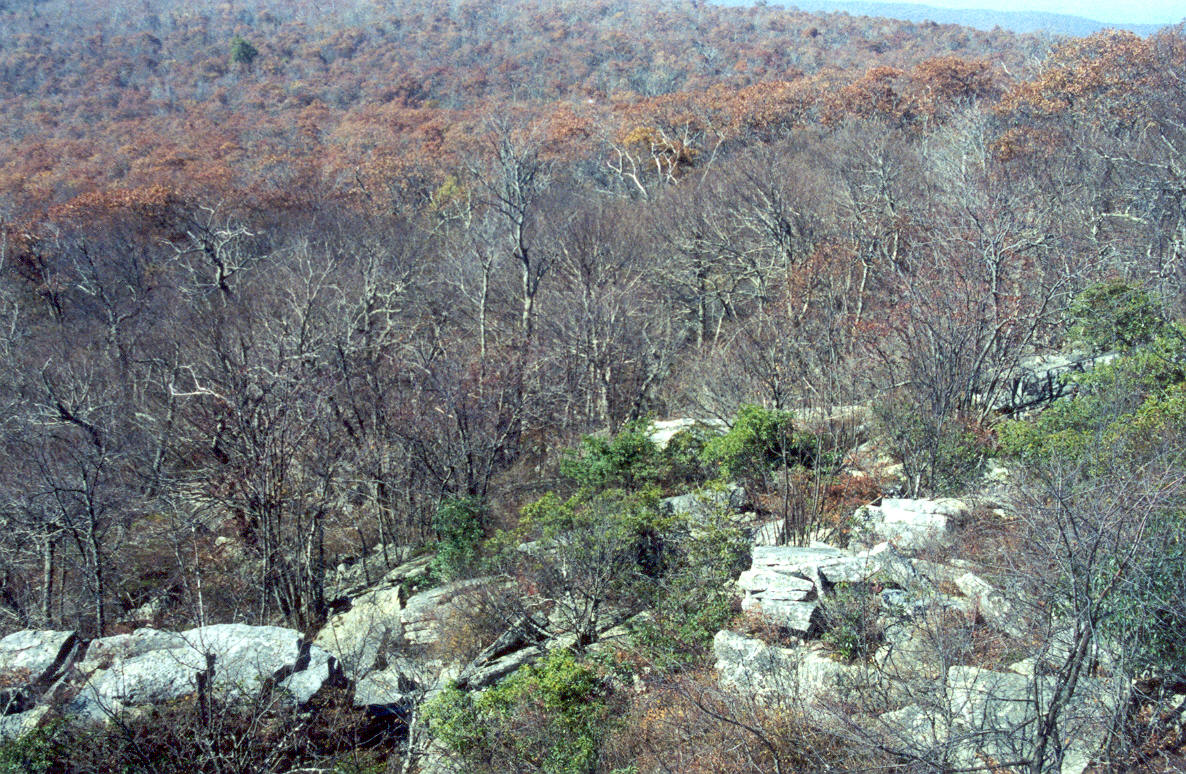
Many fire towers were constructed on the high ridges, and today telecommunications towers are being built on Tuscarora Sandstone ridges for the same reason. Click on the thumbnail images below to see larger images of the Tuscarora Sandstone on Butt Mountain in Giles County:
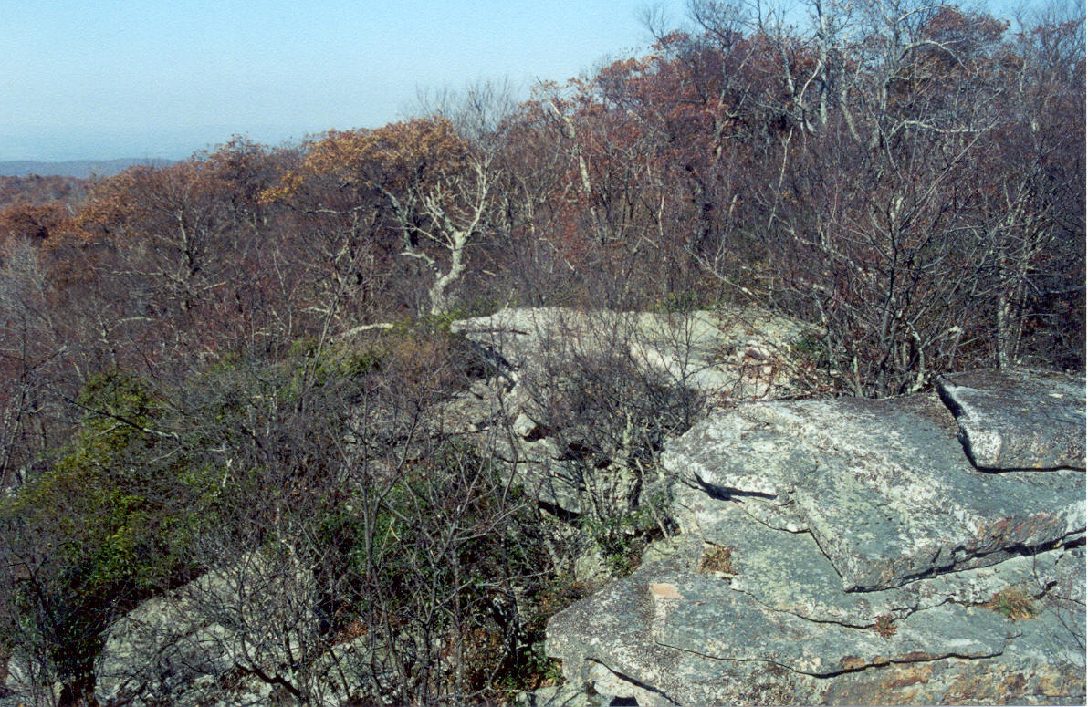

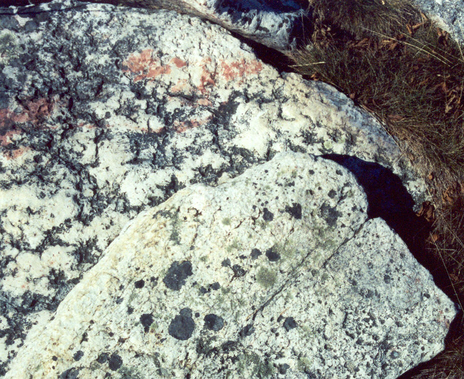
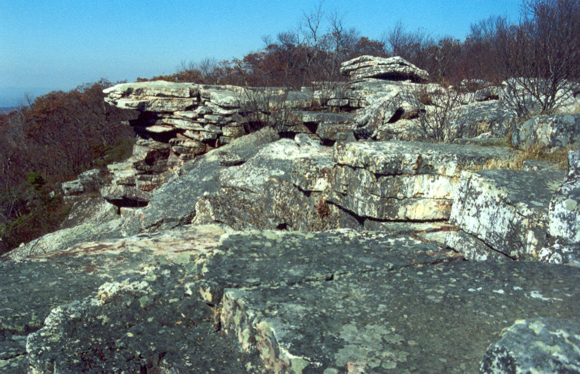
Tuscarora Sandstone on Butt Mountain in Giles County
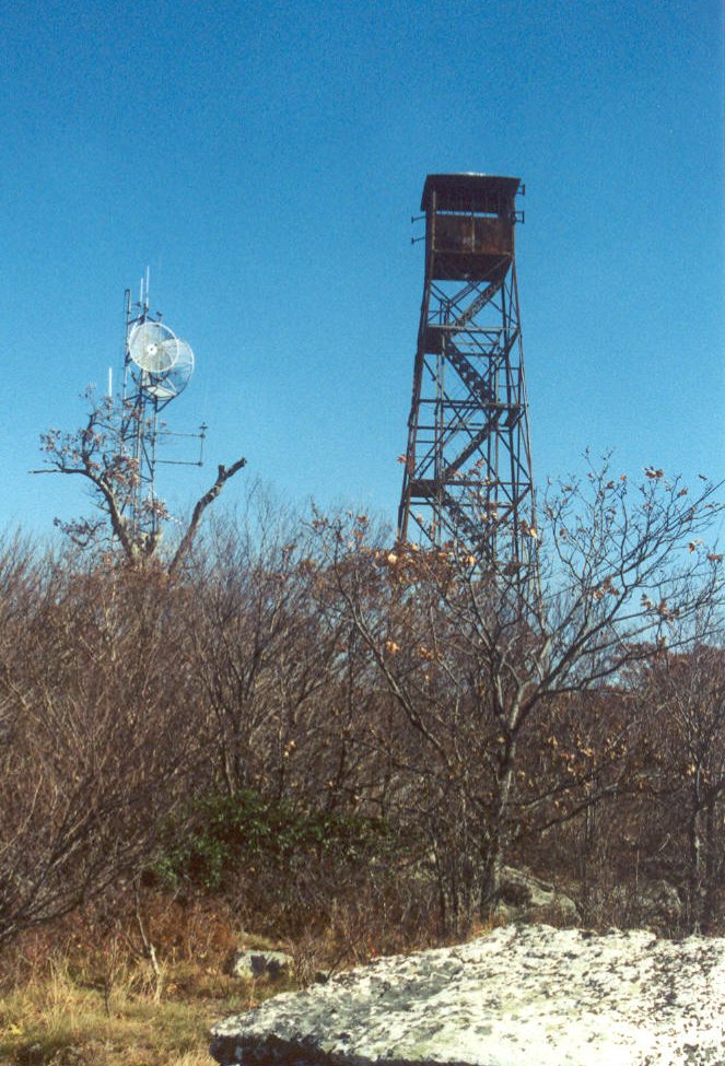
telecommunication and fire towers on Butt Mountain are anchored in Tuscarora Sandstone
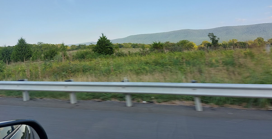
drivers on I-81 can see Massanutten Mountain to the east