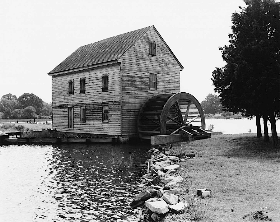
the Poplar Grove tide mill relied upon todal flow of the East River to power the wheels which ground grain
Source: Virginia Department of Historic Resources, 057-0008 Poplar Grove Mill and House

the Poplar Grove tide mill relied upon todal flow of the East River to power the wheels which ground grain
Source: Virginia Department of Historic Resources, 057-0008 Poplar Grove Mill and House
Topographic relief was too low in much of the Coastal Plain to allow for falling water to power millwheels. The alternative energy sources to power mills that ground grain into wheat flour or corn meal were wind or tide. Most mill owners opted for wndmills, but some with waterfront property were able to harness the mechanical energy provided by the twice daily tides.
Tide mills required building a dam across a Chesapeake Bay creek. As the sun and moon pulled water "up," gates in the dam were opened and saltwater flowed into the creek. When the high tide cycle ended after about 6.5 hours, the gates were closed.
About six hours later, at low tide, water trapped behind the dam was two feet higher in elevation than the bay. The miller could open up a channel allowing the water to flow out through the waterwheel, spinning it in the process of dropping "down." Belts conveyed the energy from the spinning waterwheel to the millstones, which ground the grain.1
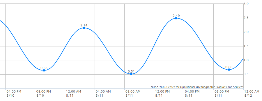
the East River rises and falls about two feet every 12 hours at Poplar Grove
Source: National Oceanic and Atmospheric Administration (NOAA), Tides and Currents, 8637199 Mobjack, East River, VA
John Hollowell once had a tide mill on the Western Branch of the Elizabeth River, in what is today the City of Chesapeake. Others were located on the Eastern Shore and in what today is the City of Hampton. Toddsbury Plantation in Gloucester County had a tide mill, and a house there today is still know as Mill Hill.2
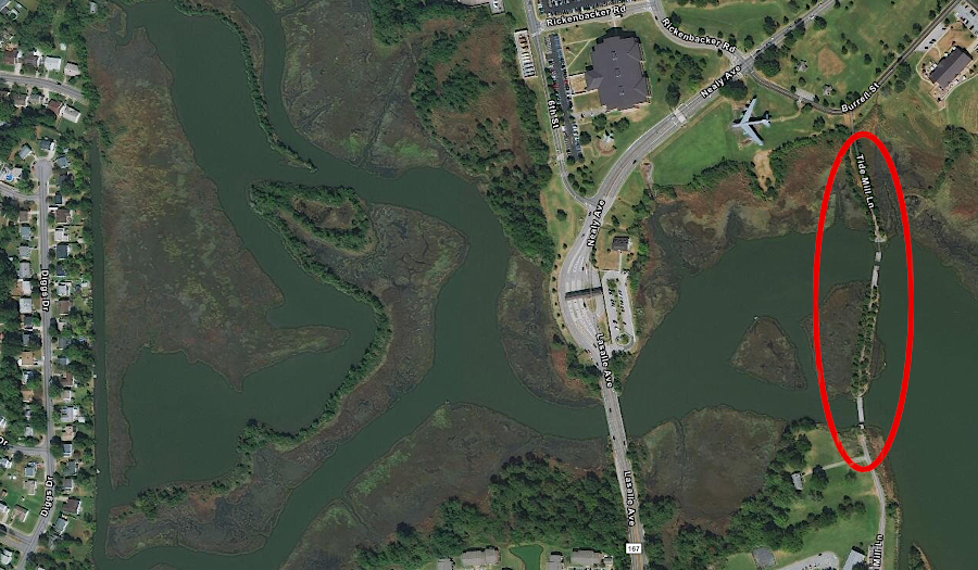
Tide Mill Lane in Hampton, south of Joint Base Langley-Eustis, indicates what was once there
Source: ESRI, ArcGIS Online
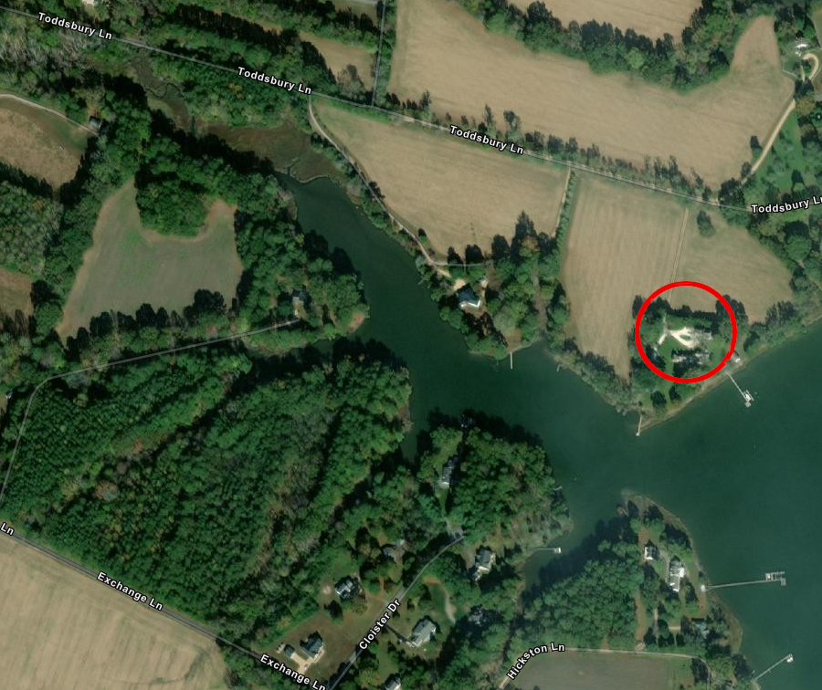
the miller at Toddsbury Plantation in Gloucester County operated the tide mill and lived at Mill Hill
Source: ESRI, ArcGIS Online
The last remaining tide mill in Virginia, complete with waterwheel, is on the East River in Mathews County next to the Poplar Grove plantation house. That house was completed in 1755, and the first tide mill may have been built at the same time.3
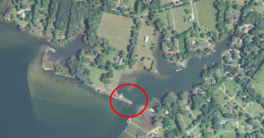
Virginia's last remaining tide mill is next to the now-breached dam in Mathews County
Source: US Geological Survey (USGS), Mathews VA 1:24,000 topographic quadrangle (2019)
Poplar Grove is named for the Lombardy poplars planed there at the time of the Revolutionary War. The tree was a symbol of the Whig Party in England. The American rebel leaders adopted much of its political philosophy, and in Parliament the Whig members were more sympathetic to the 13 colonies becoming independent.
The Poplar Grove mill could produce as much as 32 bushels of grain per day, if the miller managed to take advantage of the four daily opportunities. Milling times moved with the cycles of the sun and moon, so operators of a tide mill had to be flexible with their work/sleep schedule. Gates could be reversed, so the mill could operate when water was flowing through the dam at high tide into the empty (and low) pond behind it - or at low tide from the full (and high) pond into the river.
The mill stayed in operation until 1912. It is possible that none of the materials in the current mill structure date back to the 1750's. Wear and tear required regular replacement of wooden and metal parts, and after time even grindstones wear down and need to be replaced rather than resharpened. Repairs were required after storms, and the mill was burned completely during the Civil War.4
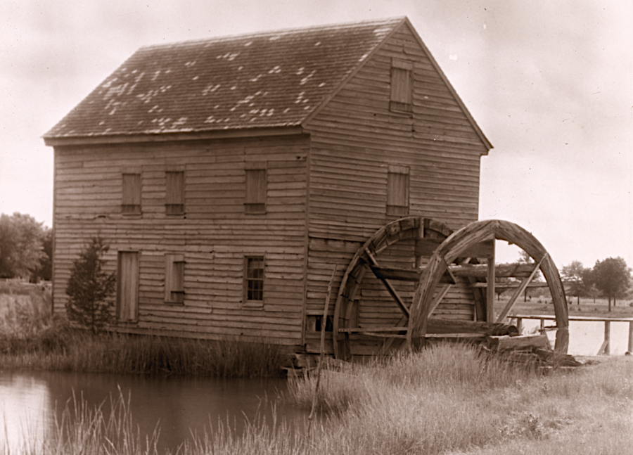
the tide mill at Poplar Grove in 1935
Source: Library of Congress"Poplar Grove," Arthur Saint Clair Butler house, Williams, Mathews County, Virginia. Tide mill (by Frances Benjamin Johnston, 1935)
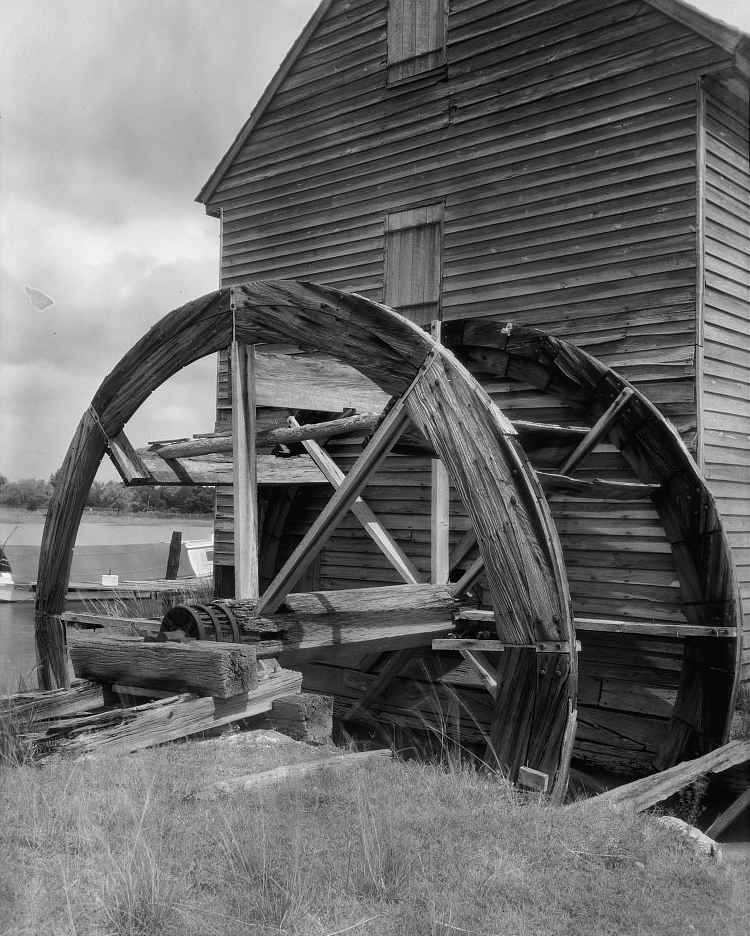
the millwheel at Poplar Grove in 1935
Source: Library of CongressPoplar Grove tide mill, Mathews County, Virginia (by Frances Benjamin Johnston, 1935)