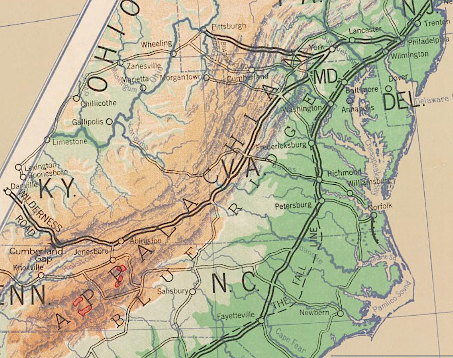
the Wilderness Road passed through Cumberland Gap into Kentucky
Source: Library of Congress, Westward movement (Hart-Bolton American history maps, 1917)
the Wilderness Road passed through Cumberland Gap into Kentucky
Source: Library of Congress, Westward movement (Hart-Bolton American history maps, 1917)
When colonists began to immigrate from Pennsylvania into Virginia, they used a path though the valleys west of the Blue Ridge that had already been established by Native Americans.
That path, going south up the Shenandoah Valley and through different valleys in the watershed of the James River, was known at various times as the Great Road, Great Philadelphia Road, and Valley Turnpike. The term "Wilderness Road" is applied most often to the road that was south of the gap that was carved by the Roanoke River through the Blue Ridge.
Settlers headed to the Piedmont of North Carolina veered southeast at the Roanoke River, following what today is US 220. Settlers headed to the watersheds of the New River, Tennessee River, and Cumberland River stayed west of the Blue Ridge.
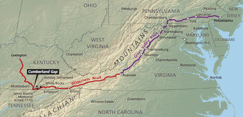
the Great Wagon Road/Philadelphia Road/Valley Road split at Roanoke Gap, where a branch led to North Carolina and the Wilderness Road led to Kentucky/Tennessee
Source: National Park Service, Cumberland Gap National Historical Park, Map showing the historic Wilderness Road
The immigrants forded rivers, using locations identified for thousands of years by Native Americans and even longer by the animals. A path that was originally suitable for just a person on foot was improved to allow wagons. The upgrades occurred from north to south, matching the settlement pattern. Daniel Boone made the Wilderness Road passable through Cumberland Gap in 1775.
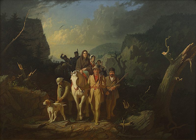
Daniel Boone, working for the Transylvania Company, opened up the Wilderness Road at Cumberland Gap for settlers to reach Kentucky
Source: Mildred Lane Kemper Art Museum, Washington University in St. Louis, Map showing the historic Wilderness Road (by George Caleb Bingham, 1851-52)
When Virginia built paved roads for cars in the 20th Century, the Virginia Department of Highways created Route 11 between the Potomac River and the Tennessee border. In the 1960's, I-81 ewas constructed to provide a faster route.1

the Wilderness Road ran from Abingdon westward through Moccasin Gap in Clinch Mountain, then past the future site of Estillville (now Gate City) to Cumberland Gap
Source: Library of Congress, A map of the state of Virginia, constructed in conformity to law from the late surveys authorized by the legislature and other original and authentic documents (1859)
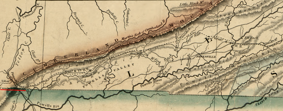
the Wilderness Road crossed the Appalachian Front into Kentucky via Cumberland Gap
Source: Library of Congress, A map of the state of Virginia, constructed in conformity to law from the late surveys authorized by the legislature and other original and authentic documents (1859)
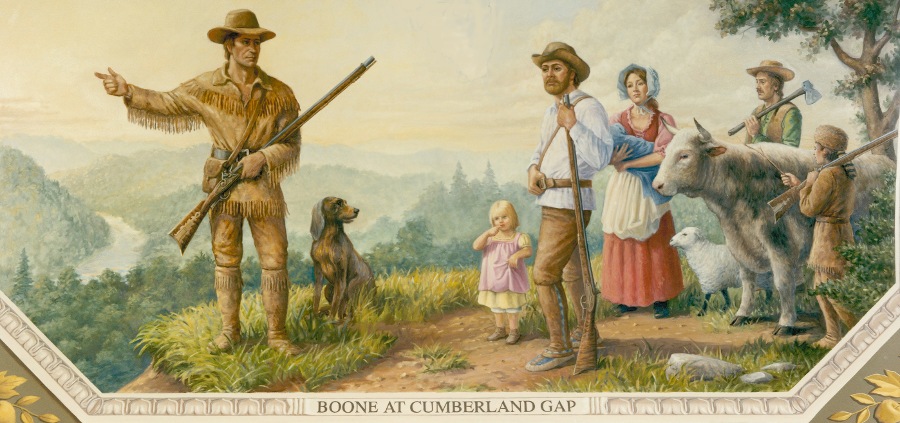
in 1775, the land speculators of the Transylvania Company paid Daniel Boone to blaze a path westward from Cumberland Gap into Kentucky's Bluegrass Region
Source: Architect of the Capitol, Boone at Cumberland Gap
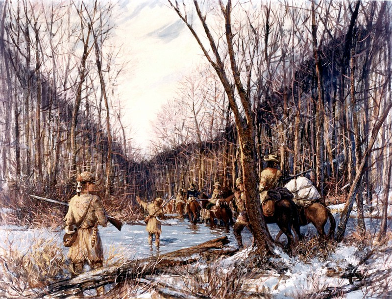
the Wilderness Road, cut through Cumberland Gap in 1774, was an extension of the Great Wagon Road through the Shenandoah Valley
Source: Federal Highway Administration, 1774 The Wilderness Road (painting by Carl Rakeman)
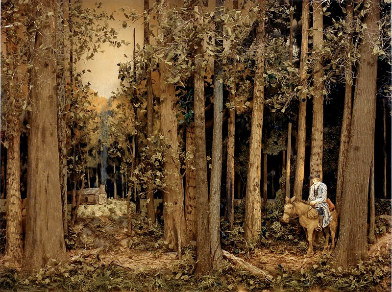
the Wilderness Road was just an improved trail, when first cut by Daniel Boone through Cumberland Gap
Source: Federal Highway Administration, 1809 The Natchez Trace (painting by Carl Rakeman)
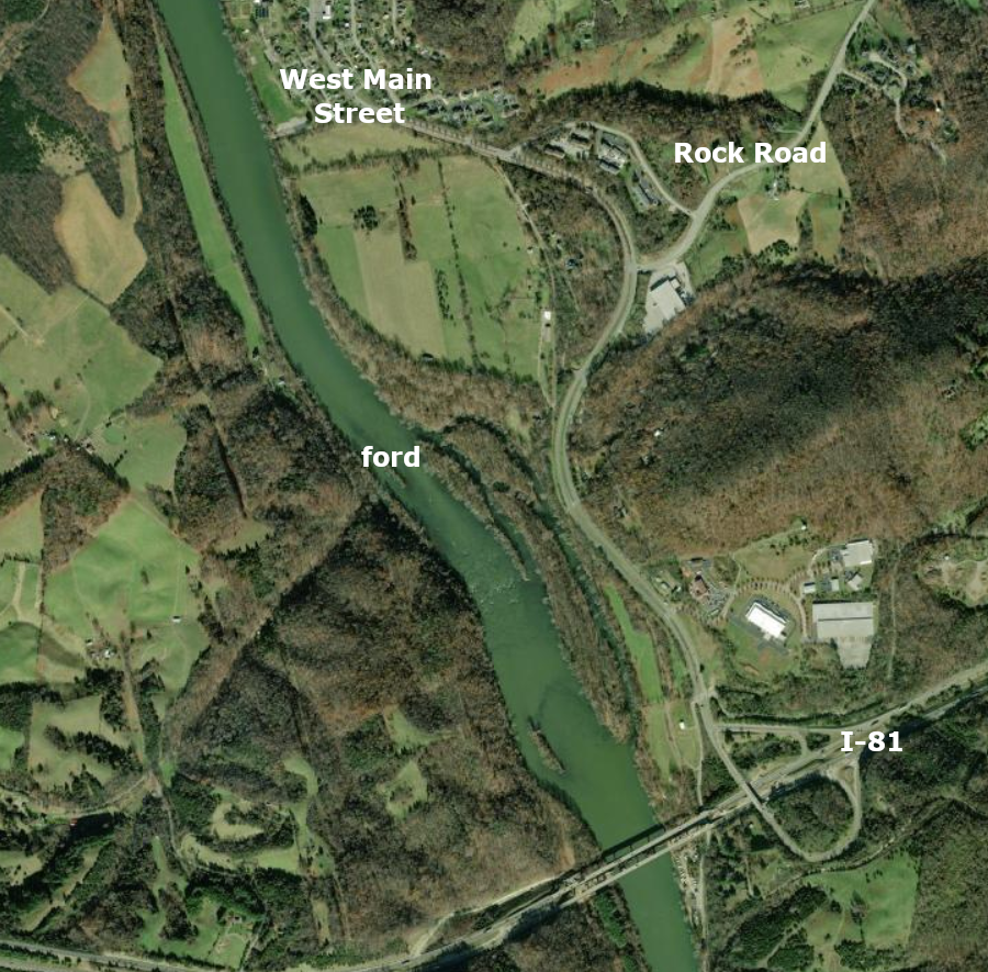
the Wilderness Road followed what is now called Rock Road and crossed the New River at a shallow ford just downstream of modern I-81
Source: ESRI, ArcGIS Online
Source: Blacksburg Museum & Cultural Foundation, 2007 Historic Lecture Series: Ingles Tavern & Wilderness Trail
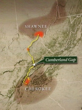
the Cherokee and Shawnee used a game trail to cross through Cumberland Gap for both hunting and fighting in the 1700's, creating what colonial settlers called the Warrior's Path
Source: National Park Service, Cumberland Gap National Historical Park, Warriors' Path