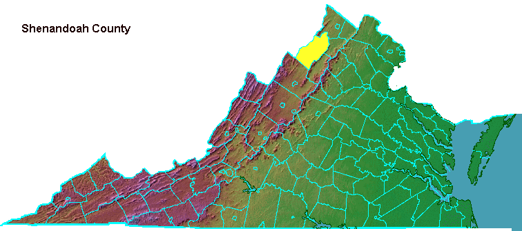

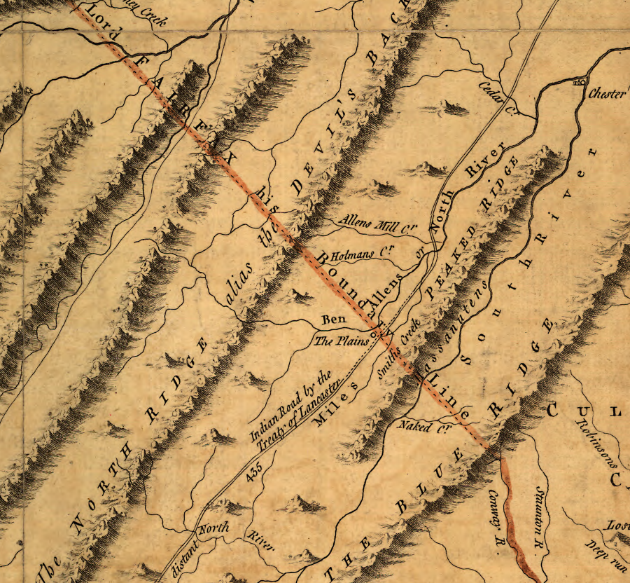
the 1755 Fry-Jefferson map of Virginia shows the Fairfax Line as the southern border of modern Shenandoah County
Source: Library of Congress, A map of the most inhabited part of Virginia containing the whole province of Maryland with part of Pensilvania, New Jersey and North Carolina (by Joshua Fry and Peter Jefferson, 1755)

Mount Jackson in 1864
Source: Frank Leslie's Illustrated History of the Civil War, In the Shenandoah Valley - Mount Jackson, the Headquarters of General Fremont In His Advance to Harrisonburg (p.213)
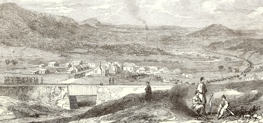
Strasburg in 1862
Source: Frank Leslie's Illustrated History of the Civil War, View of the Town of Strasburg, Valley of the Shenandoah, Occupied By the Federal Forces Under General Banks, March 25th, 1862
(p.254)
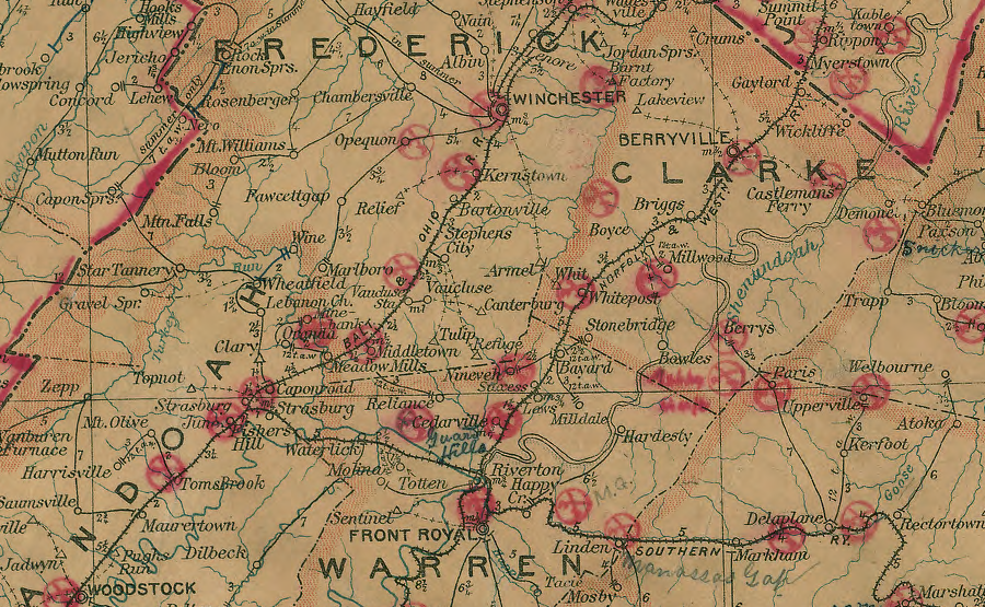
in 1906, both Front Royal and Strasburg were served by two railroads
Source: Library of Congress, Post route map of the states of Virginia and West Virginia (Postmaster General, 1906)
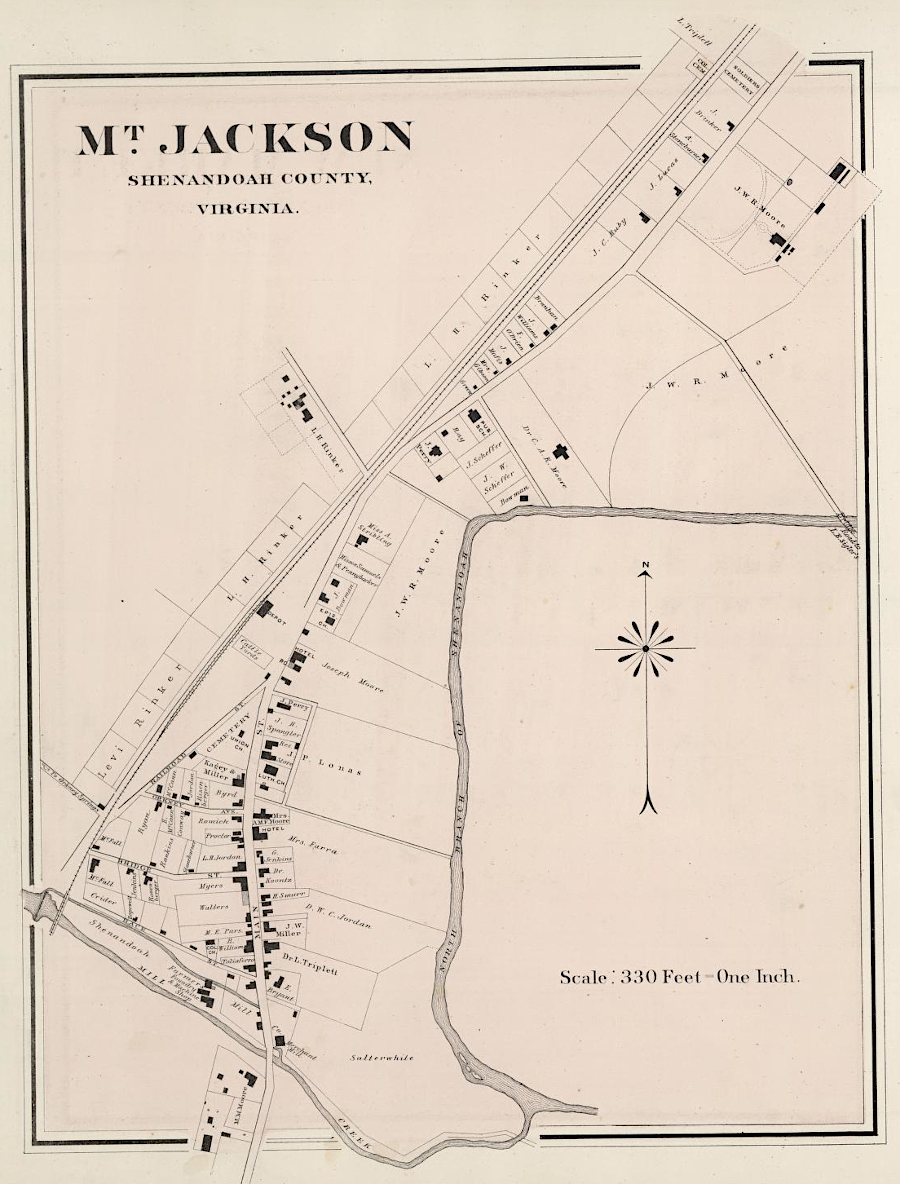
Mount Jackson in 1878
Source: David Rumsey Map Collection, OW Gray & Son Atlas - Gray's New Map of Mount Jackson and New Market, Virginia (1878)
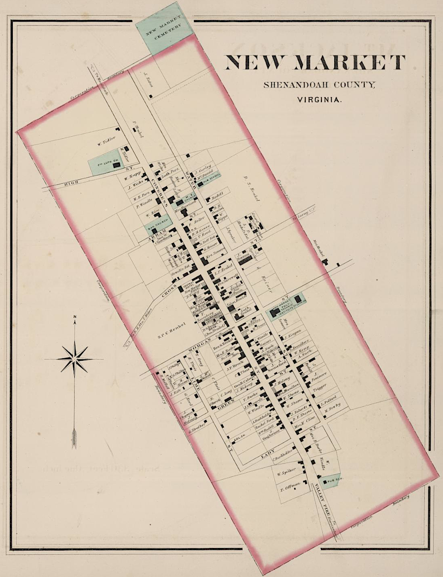
New Market in 1878
Source: David Rumsey Map Collection, OW Gray & Son Atlas - Gray's New Map of Mount Jackson and New Market, Virginia (1878)
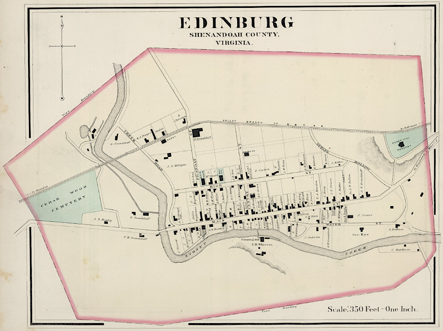
Edinburg in 1878
Source: David Rumsey Map Collection, OW Gray & Son Atlas - Gray's New Map of Edinburg, Virginia (1878)
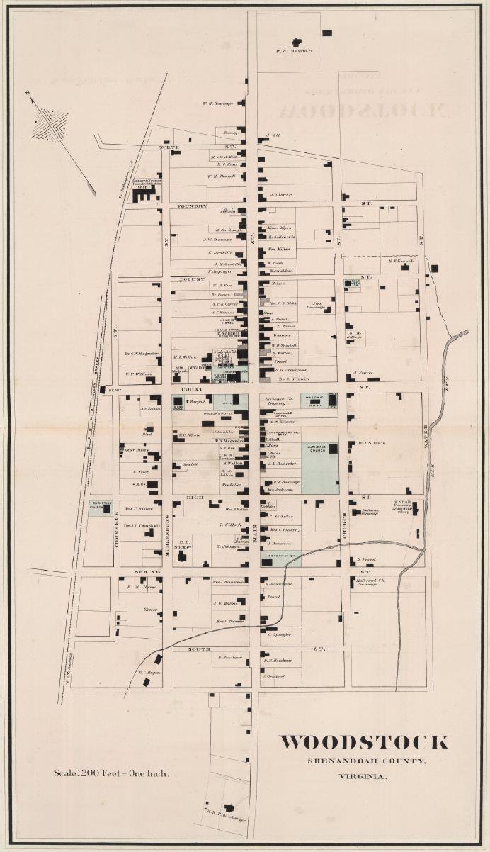
Woodstock in 1878
Source: David Rumsey Map Collection, OW Gray & Son Atlas - Gray's New Map of Woodstock, Virginia (1878)
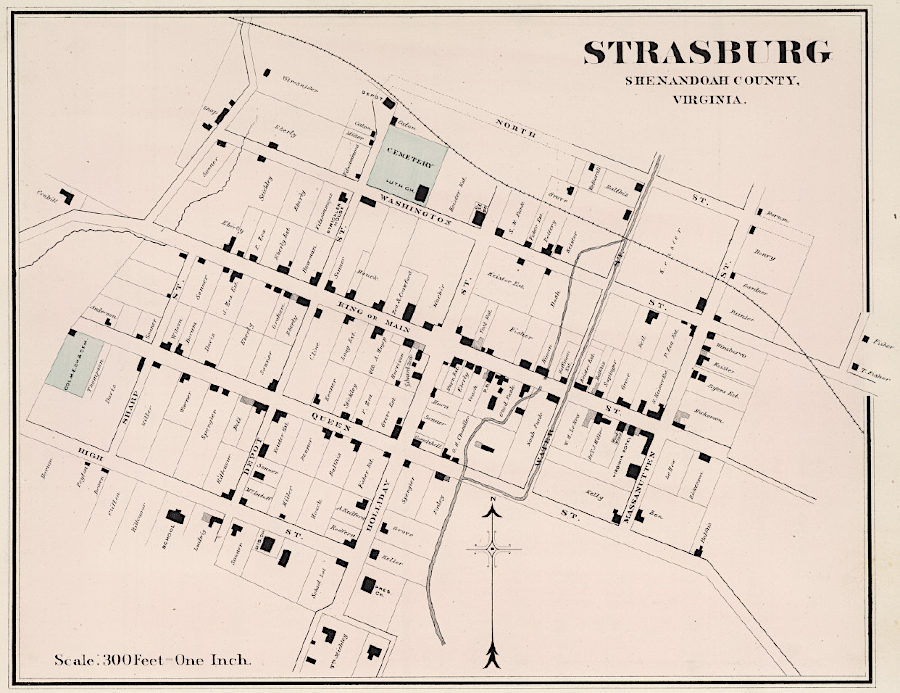
Strasburg in 1878
Source: David Rumsey Map Collection, OW Gray & Son Atlas - Gray's New Map of Strasburg, Virginia (1878)
Source: Friends of the North Fork of the Shenandoah River, Woodstock Reservoirs: A Brief History of Water in Woodstock by Program Coordinator Mariama Dryak
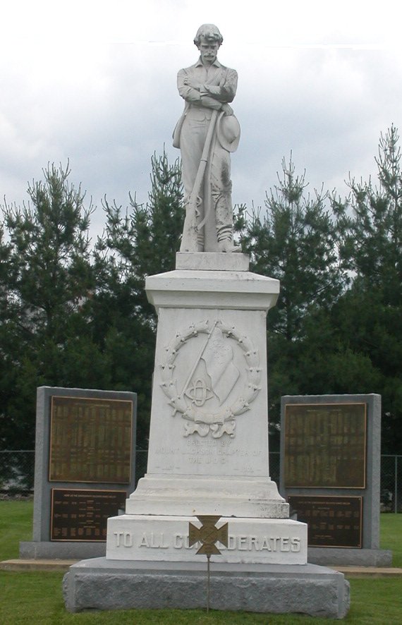
site of Civil War Hospital in Mount Jackson