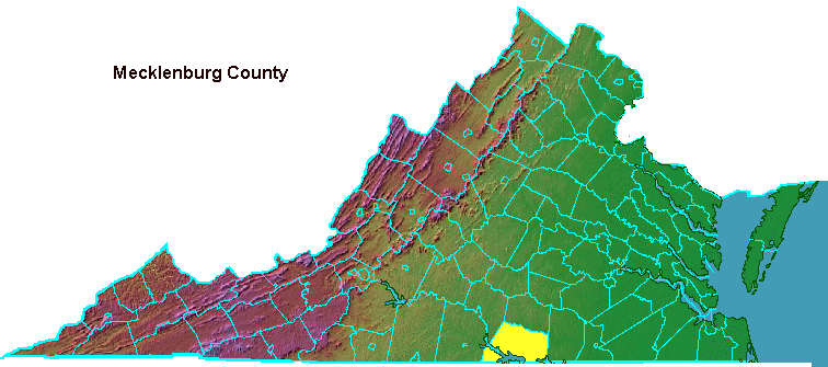
The wife of George III was Princess Charlotte of Mecklenburg-Strelitz, in modern-day Germany.
Chase City was named for Salmon P. Chase, a Yankee abolitionist. After the Civil War, nearly 300 people from Ohio (many of them Presbyterians of German descent) migrated to Southside Virginia and formed the town. Despite the name of Chase City, the community is a town that was chartered by the state in 1873.
Clarksville was named for Clark Royster. His father had come to the area to manage lands acquired by William Byrd II. Clark Royster built a tavern and tobacco warehouse, and in 1818 got the General Assembly to grant a charter for a town. Clarksville was incorporated in 1821.1
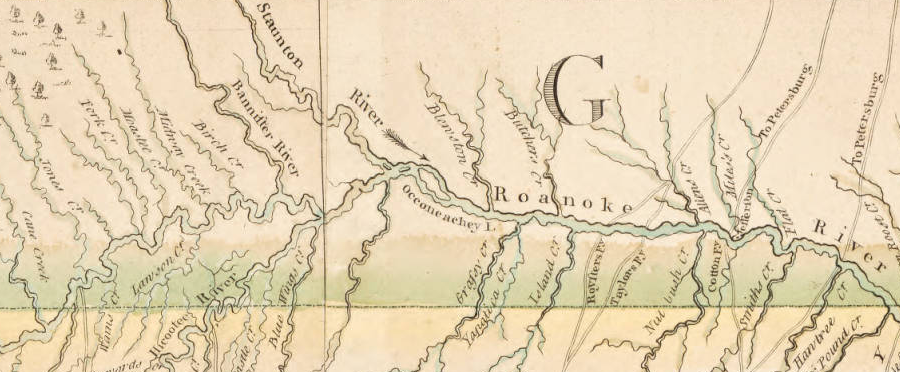
the Occaneechi tribe operated a trading depot on an island in the Roanoke River, and Nathaniel Bacon raided it during his rebellion in 1676
Source: University of North Carolina, A Compleat map of North-Carolina from an actual survey (by John Collet, 1770)
Construction of the Atlantic and Danville Railroad gave Mecklenburg County tobacco farmers and timber cutters a direct line to the Chesapeake Bay port of Portsmouth. South Hill was chartered as a town in 1901 with unusual boundaries defined in 1889, based on the intersection of the Atlantic and Danville Railway and the Boydton Plank Road (US 1 today):2
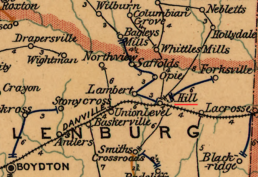
South Hill developed as a town only after the Atlantic and Danville Railroad arrived
Source: Library of Congress, Post route map of the state of Virginia and West Virginia (1896)
One major employer in the county today is Microsoft. It opened a data center there in 2010. In 2019, it announced its sixth expansion of that facility.3
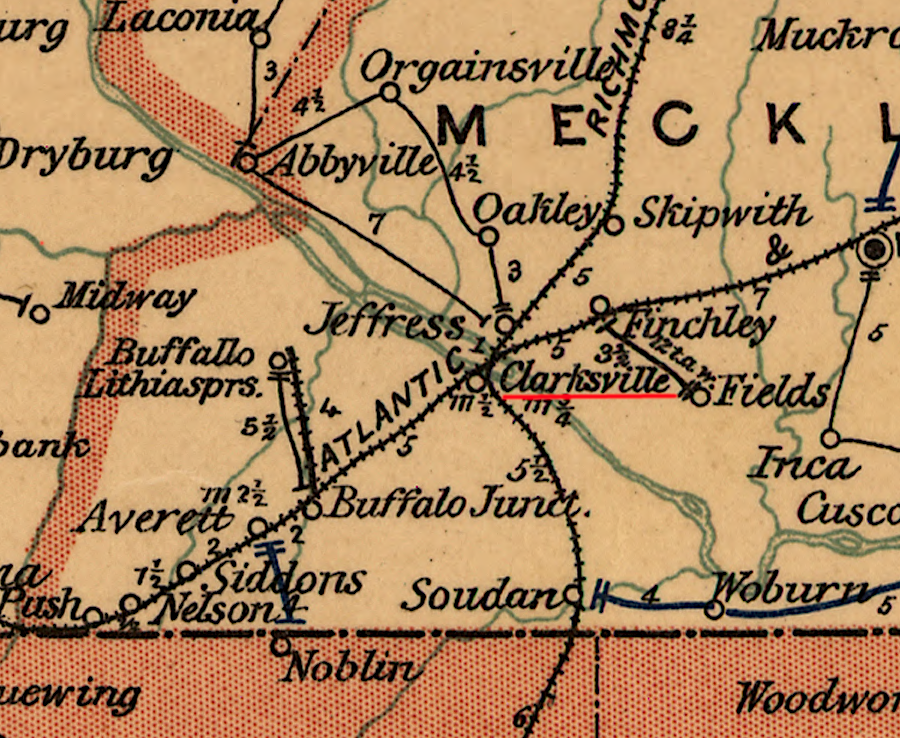
Clarksville was served by the east-west Atlantic and Danville Railway and the north-south Richmond and Mecklenburg Railroad in 1896
Source: Library of Congress, Post route map of the state of Virginia and West Virginia (1896)
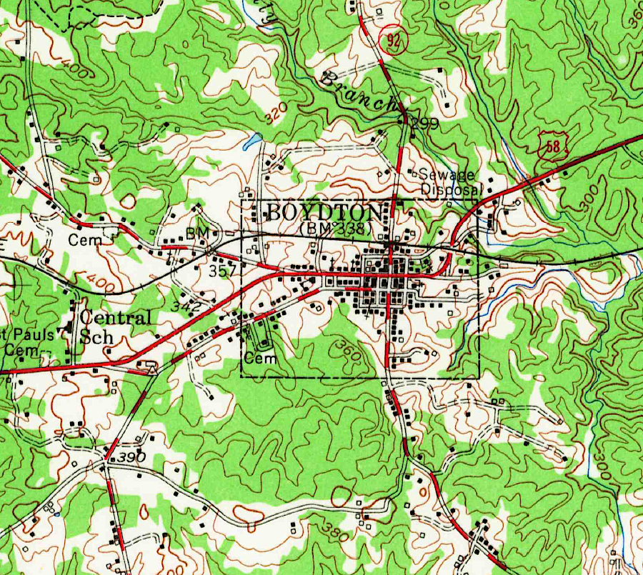
Boydton was on the Atlantic and Danville Railway
Source: US Geological Survey, Boydton VA 1:62,500 topographic quadrangle (1955)
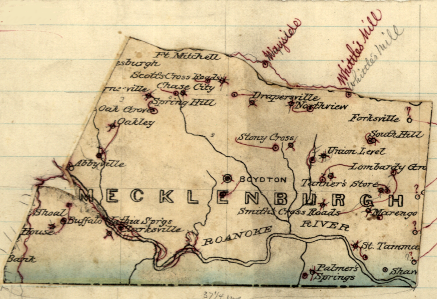
Mecklenburg County in the 1870's
Source: Library of Congress, Virginia: Mecklenburgh (by Jedediah Hotchkiss, 1870's)