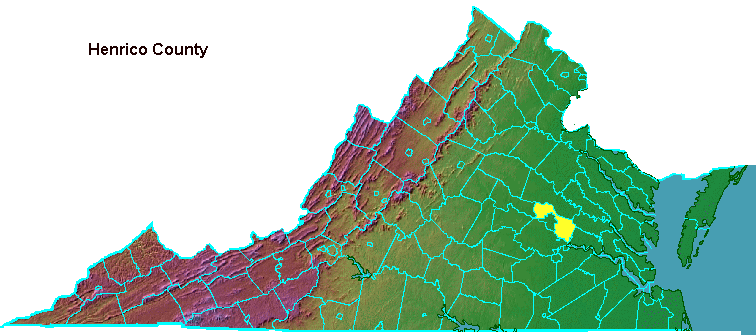
Henrico, one of the oldest counties in the state, is named after a Prince of Wales who never became king of England.
James I was on the throne when the Susan Constant, GodSpeed, and Discovery sighted land on April 6, 1607. The ships sailed into the Chesapeake Bay between two points of land, which were quickly named Cape Henry and Cape Charles after the older and younger sons of King James I. King James and his daughter Elizabeth got rivers named after them.
The wife of James I, Anne of Denmark, was not honored. Princess Anne County (now incorporated into the city of Virginia Beach) was named in 1691 after a later princess, the daughter of King William and Queen Mary.
Sir Thomas Dale started a new settlement called "The City of Henricus" in 1611 upstream of Jamestown in a bend of the James River that could be defended easily. In 1614 four "Incorporations" were defined for the new colony and Henry was honored, as was Charles, by having one of these named after him.
Henry had died from typhoid in 1612 at the age of 18. When the Incorporations were first named, it was clear that the younger brother Charles would become the next king.
When the first eight Virginia counties were created in 1634, the name Henrico was continued. The name Henry was not a good luck charm, however:
- all English residents of the City of Henricus and its university (chartered in 1619, the first in the New World) were killed in the 1622 uprising of the native Americans.
- no future royal named Henry became King of England. Charles I named his third son Henry, but the oldest son became King Charles II
- James II, the next King of England, was deposed during the Glorious Revolution of William and Mary. His son, James, named his two children Charles and Henry. Charles became romanticized as "Bonnie Prince Charlie" after he failed to seize the throne in a 1745 rebellion based in Scotland. The grandson of King James II who was named Henry became the Cardinal of York (Catholic, incidentally) instead of Henry IX, and the Stuart claim to the throne evaporated.
- Modern King Charles III had two sons. The oldest, William, was first in the line of succession. His younger brother Prince Henry ended up renouncing his claim to the throne and moved to California.
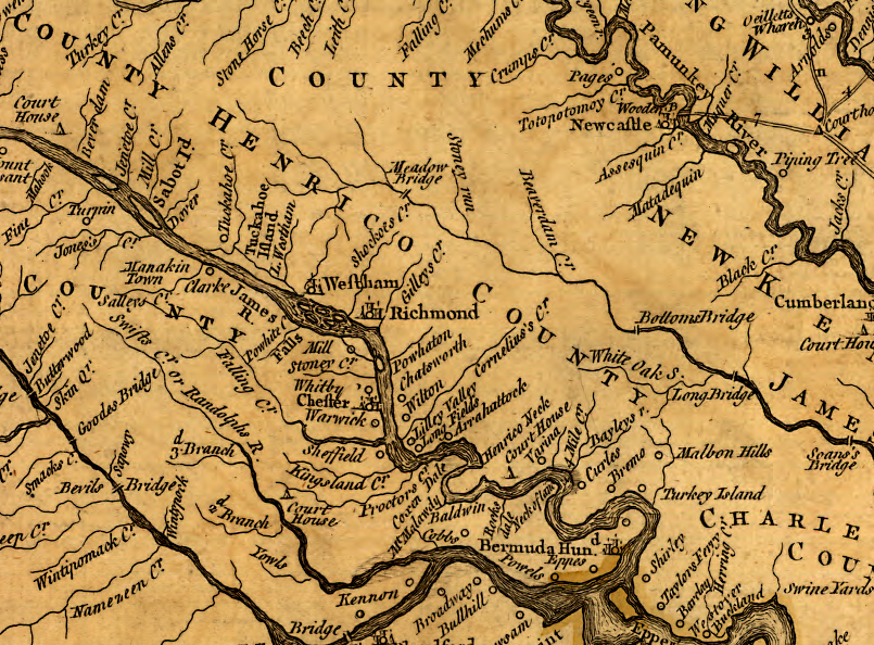
Henrico County, as shown on the 1755 Fry-Jefferson map
Source: Library of Congress, A map of the most inhabited part of Virginia containing the whole province of Maryland with part of Pensilvania, New Jersey and North Carolina (by Joshua Fry and Peter Jefferson, 1755)
Short Pump, morphing over time
Source: Google Earth Engine
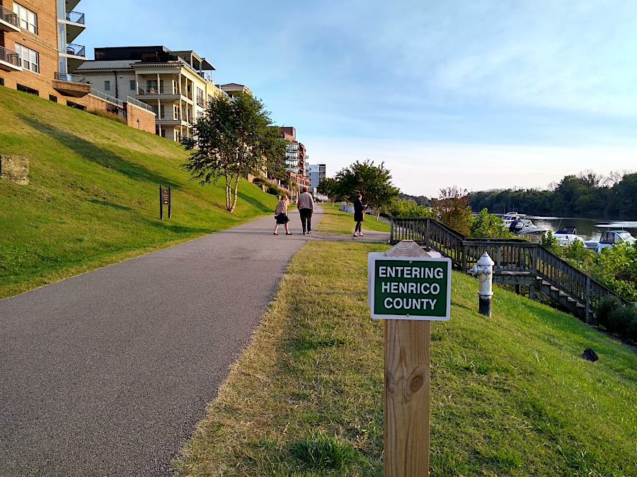
the Rocketts Landing redevelopment is on the border of Richmond and Henrico County