Columbia was established as a town in Fluvanna County in 1788, benefiting from its location at the confluence of the Rivanna and James rivers. Business grew when the James River and Kanawha Canal was built on the north side of the river through the town.
The replacement of the canal with the railroad after the Civil War triggered a steady decline in commerce through Columbia. Three "hundred year floods" in 1969 (Hurricane Camille), 1972 (Hurricane Agnes), and 1985 (Hurricane Juan) wiped out or damaged much of the town. The tax base disappeared, and by 2014 there was only one commercial store left within the town boundaries. The few people that bought a home in the town joked that they were still unpacking the moving boxes when asked if they wanted to serve as mayor.
In 2015, the 34 residents eligible to vote chose to abolish the town government and become an unicorporated part of the county. 18 voted to abandon the status as a town; only one opposed that choice. Since there were six members on the town council plus a mayor, current town officials were a high percentage of the population that voted to abolish those seven jobs.
If Columbia had cosen to remain a separate jurisdiction, residents would have continued to pay an extra tax. The town budget at the time of dissolution was only $4,000/year, primarily to pay for street lights and insurance on the town hall; no town officials received a salary. Costs were expected to increase to fund an update of town ordinances and to ensure compliance with separate town zoning. Converting Columbia from a town to an unincorporated place transferred all planning and zoning responsibilities to Fluvanna County.1
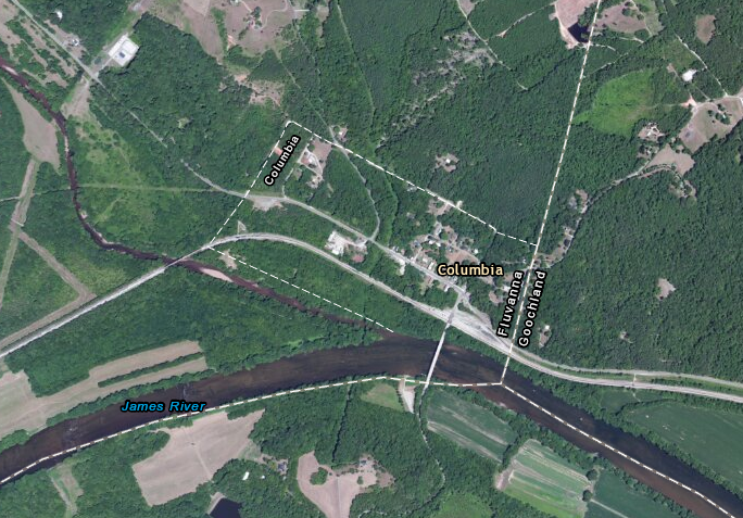
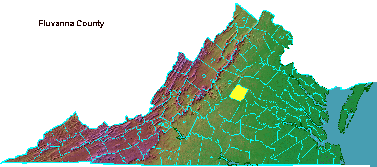
the Town of Columbia was located at the southeastern corner of Fluvanna County
Source: ESRI, ArcGIS Online
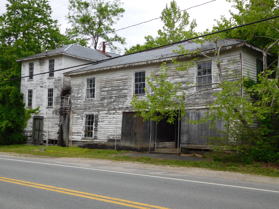
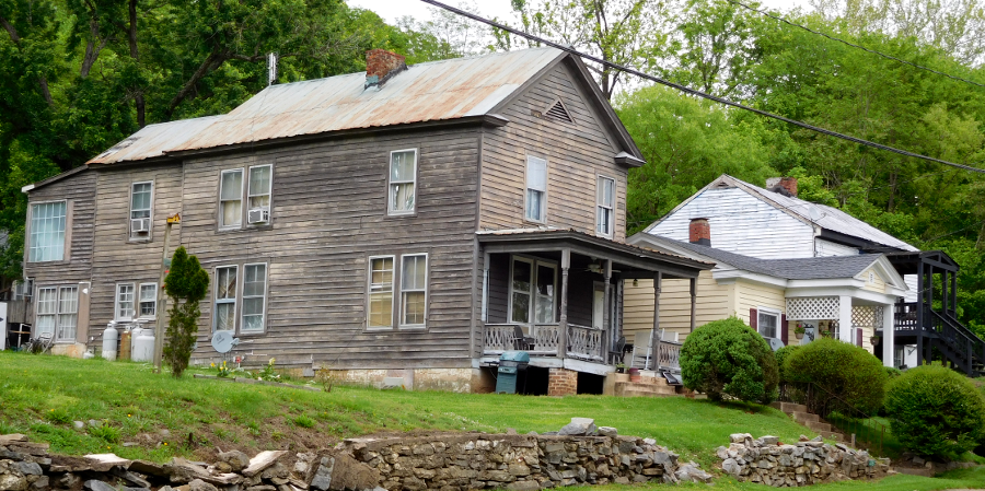
by 2016, several structures in Columbia were dilapidated
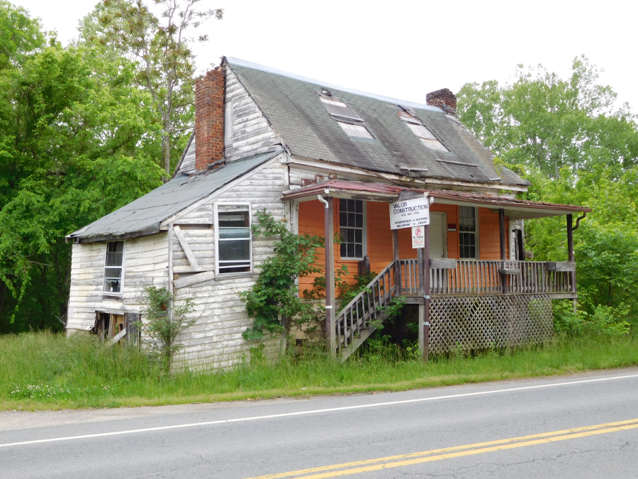
by 2016, several structures in Columbia were dilapidated
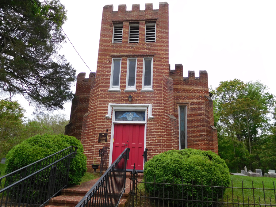
St. John's Episcopal Church in Columbia
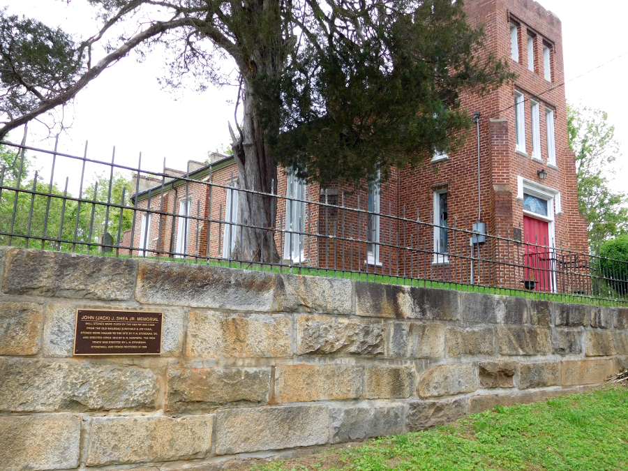
the stone wall of St. John's Episcopal Church in Columbia was constructed in 1912, using stones noved from the James River and Kanawha Canal and the turntable of the Chesapeake and Ohio Railroad
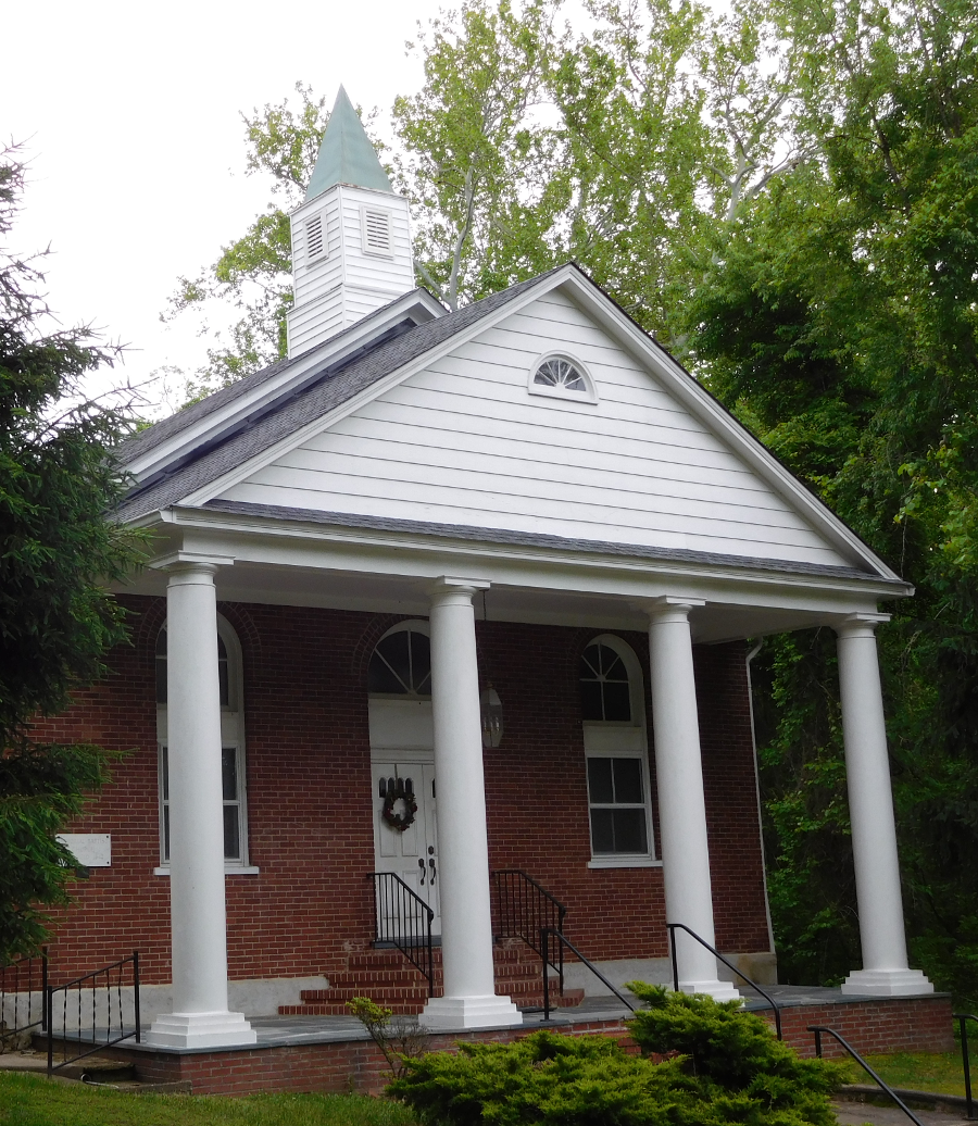
Memorial Baptist Church in Columbia
Memorial Baptist Church in Columbia
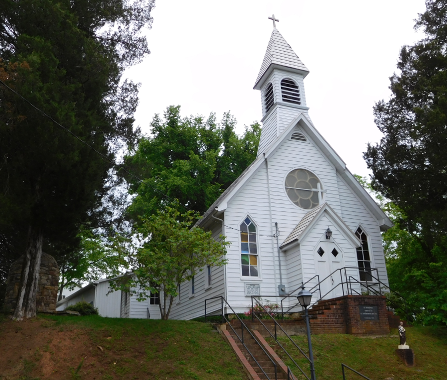
St. Joseph's Shrine of St. Katharine Drexel, in Columbia
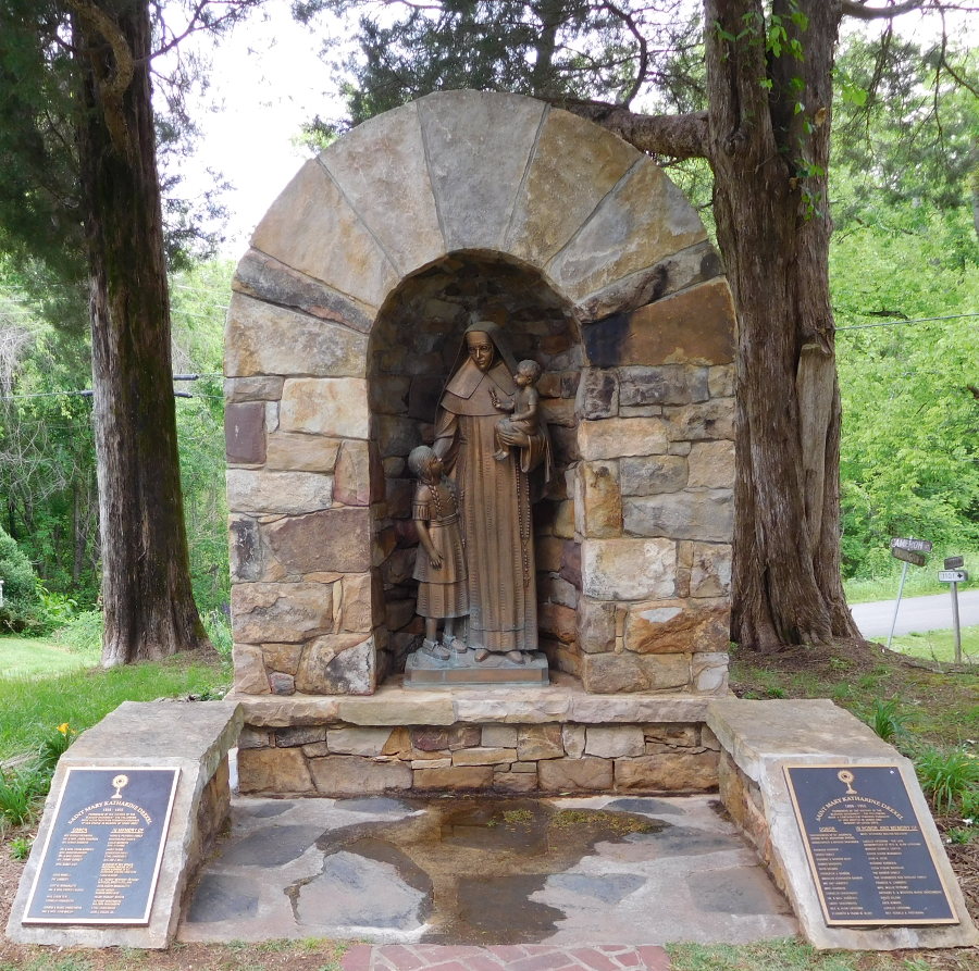
Shrine of St. Katharine Drexel, in Columbia
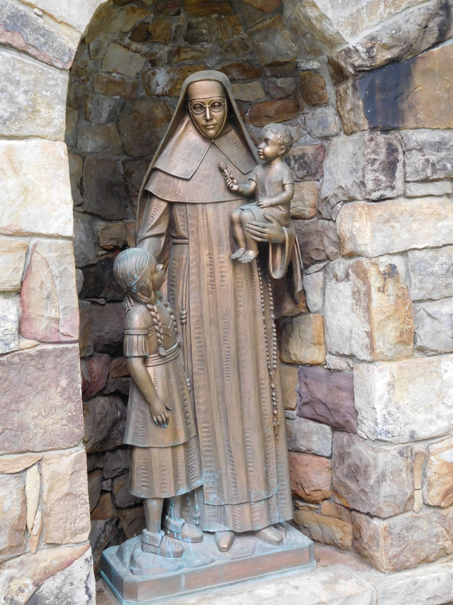
Shrine of St. Katharine Drexel, in Columbia
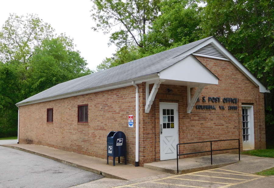
US Post Office in Columbia
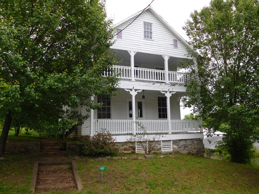
housing in Columbia
Columbia
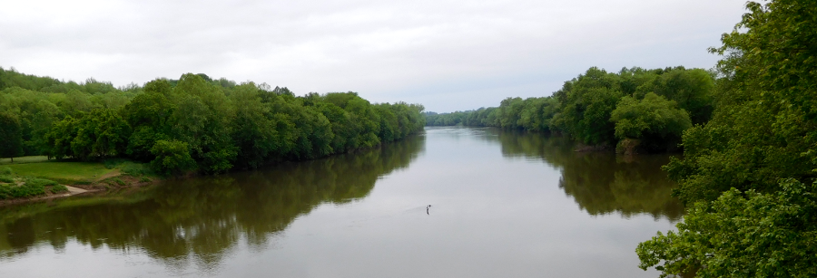
James River, looking upstream from bridge at Columbia
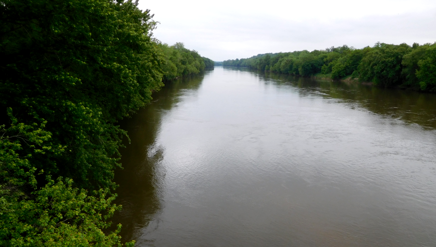
James River, looking downstream from bridge at Columbia
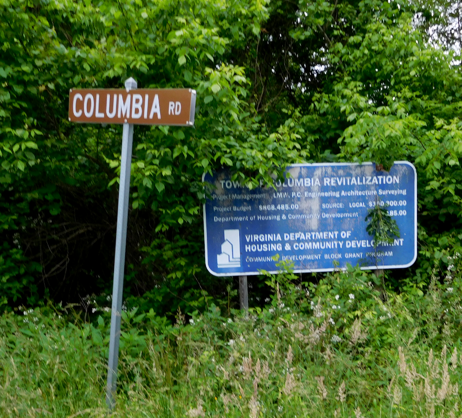
the Virginia Department of Housing and Community Development sought to revitalize Columbia
1. "Columbia residents vote 18-1 to do away with town," Richmond Times-Dispatch, March 17, 2015, http://www.richmond.com/news/virginia/article_3db2ebfa-fdbe-571d-9a87-9df333fe5449.html; " Fluvanna town may give up the ghost," Richmond Times-Dispatch, July 31, 2014, http://www.richmond.com/news/local/central-virginia/article_2b2918c3-1721-50dc-9842-95c123e487a2.html (last checked March 18, 2015)