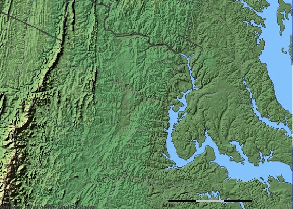
do hills and valleys define clear boundaries for "Northern Virginia"?
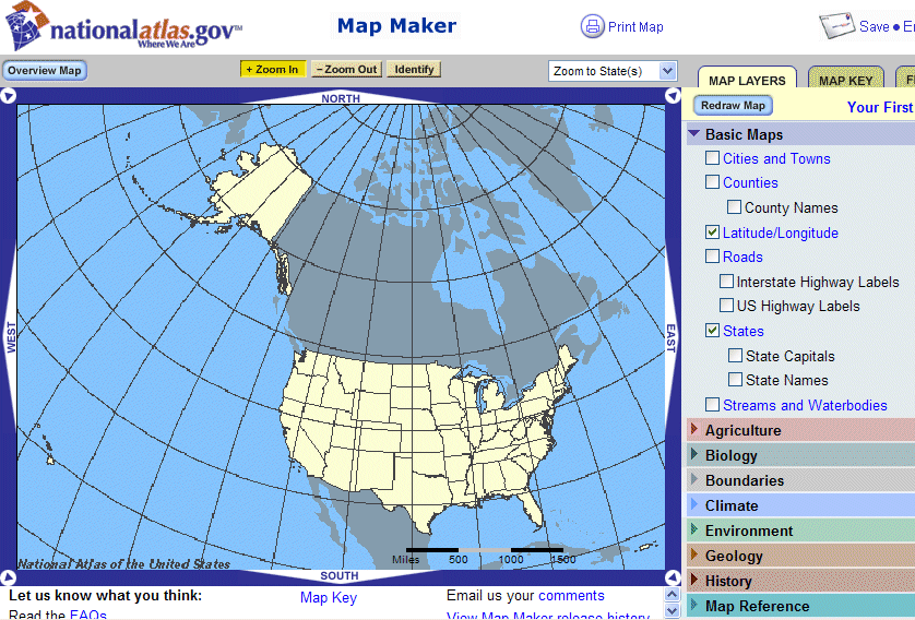
The National Atlas is a visualization tool that displays different layers of data, depending upon the user commands. Go to the MapMaker at http://nationalatlas.gov/natlas/Natlasstart.asp At the start, you should see something like this:
Select the "Zoom to State" button:

Select Virginia, of course, and then select "Geology":

Scroll down to "Shaded Relief Land - Color," one of the checkboxes offered under the heading of Geology. Note that you will use the scroll bar on the far right of the screen:
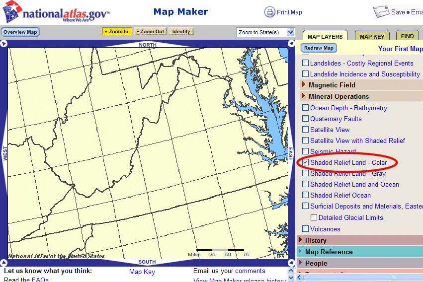
Find the "Redraw" button again and click it to - surprise - redraw the map:

After all this effort, you should see:
