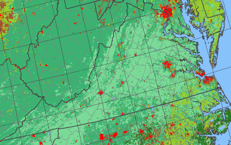
small scale map showing a large area - the continental US
(showing state/county boundaries and 21 classes of "land cover," such as deciduous and evergreen forest, shrubland, farmland, and water)
Source: National Atlas
Map jargon can get a little tricky. Maps in the Virginia Atlas and Gazetteer are printed at the 1:150,000 scale. That means one inch on the map equals 150,000 inches on the ground.
On a 1:150,000 scale map, the units of measure are all affected the same. One millimeter on a paper map at 1:150,000 scale will equal 150,000 millimeters on the ground - the scale applies to English and metric units equally.
If you do the math in traditional English units (12 inches to the foot and 5,280 feet to the mile), you'll see that one inch displayed on an atlas map equals about 2.3 miles on the ground. Each map in the atlas represents a quadrangle about 24 miles in height measuring north to south, and about 34.5 miles in width measuring east to west.
The US Geological Survey (USGS) has mapped the 40,000 square miles of Virginia. That is 25 million acres, since one square mile = 640 acres. USGS produces a wide range of maps in various scales. Hikers and hunters often purchase the 1:24,000 scale USGS maps, where one inch on the map is equivalent to 24,000 inches on the ground (i.e., one inch represents about 1/2 mile).
The 1:24,000 scale topo maps from USGS have a "larger" scale than the 1,150,000 scale maps in the Virginia Atlas and Gazetteer. In map jargon, larger scale maps show small areas while the smaller-scale maps show larger areas. Typically a large scale map will have more room for the cartographer to show more detail about a small area, such as additional roads or even driveways, while small scale maps might have space to show just the interstates and major highways.
Cellular phones offer mapping apps, but coverage in the woods can be unreliable. There is still a demand for printed 1:24,000 USGS quads, and paper maps are sold in outdoor stores by commercial companies such as DeLorme, Rand-McNally, and ADT.
Why are the maps in the Virginia Atlas and Gazetteer produced at the smaller 1:150,000 scale, when larger scale 1:24,000 scale maps are available with more-detailed information? DeLorme, by printing maps with a "smaller" scale than USGS, can display all of Virginia in about 75 maps and lower the cost of printing.
NOTE: The National Oceanographic and Atmospheric Agency (NOAA) has charted the waters of Virginia, recording the depths of the Chesapeake Bay and the Atlantic Ocean. Typically, boaters purchase "charts" showing water depths and obstructions to navigation, while hikers purchase "maps."
A map of the entire United States might be at 1:2,000,000 scale, where one inch on the map equals 2 million inches on the ground. County assessors (who inventory all land parcels for tax purposes) often have plats of properties at the 1:400 scale - where one inch equals 400 inches. Engineers designing a road or subdivision may have even larger scale maps - though there is a limit. A map at 1:1 scale would be life size, and rarely useful.
Maps are tools. People develop different tools to meet different requirements. If you decide your atlas does not provide sufficient detail for researching a particular area, look for a map with a larger-scale (i.e., displays a smaller-area in greater detail). A state highway map will have insets where the complex road network for smaller areas of the state (Northern Virginia, Richmond, Hampton Roads, etc.) will be displayed at a larger scale.
For the sake of this class, it may be easiest just to memorize that 1:24,000 scale maps are a larger scale map than 1:150,000 scale maps. Do not be confused by the fact that 24,000 is a smaller number than 150,000. That's true, but irrelevant to the discussion of map scales.