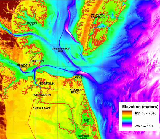
surface elevation and underwater bathymetry near Cape Henry
Source: National Oceanic And Atmospheric Administration (NOAA), Digital Elevation Model
of Virginia Beach, Virginia: Procedures, Data Sources and Analysis
surface elevation and underwater bathymetry near Cape Henry
Source: National Oceanic And Atmospheric Administration (NOAA), Digital Elevation Model
of Virginia Beach, Virginia: Procedures, Data Sources and Analysis
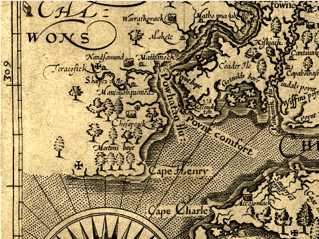
John Smith map (1624)
Source: Library of Congress
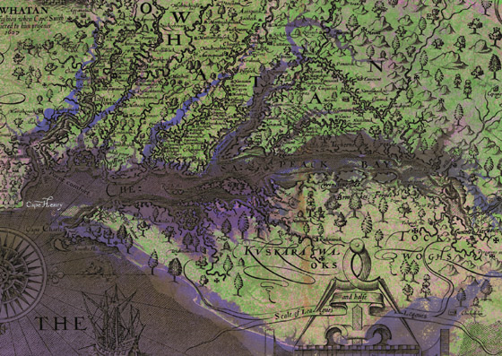
John Smith map overlayed on top of LANDSAT satellite image, showing actual location of rivers and shoreline
Source: National Aeronautics and Space Administration (NASA), Cape Henry & the Chesapeake Bay
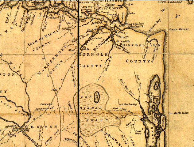
Fry-Jefferson map (1751)
Source: Library of Congress
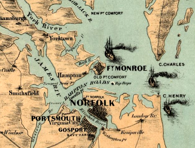
Cape Henry, Fort Monroe and Rip Raps (site of Fort Calhoun, renamed Fort Wool) in 1861
Source: Library of Congress, Birds eye view of Virginia, Maryland, Delaware and the District of Columbia
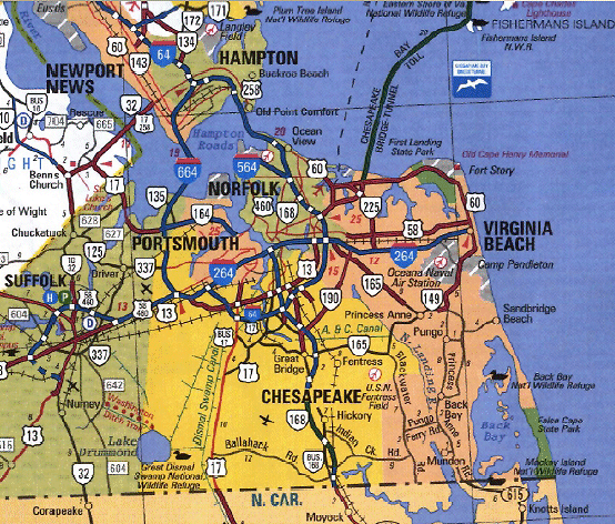
State Highway Map (2002)
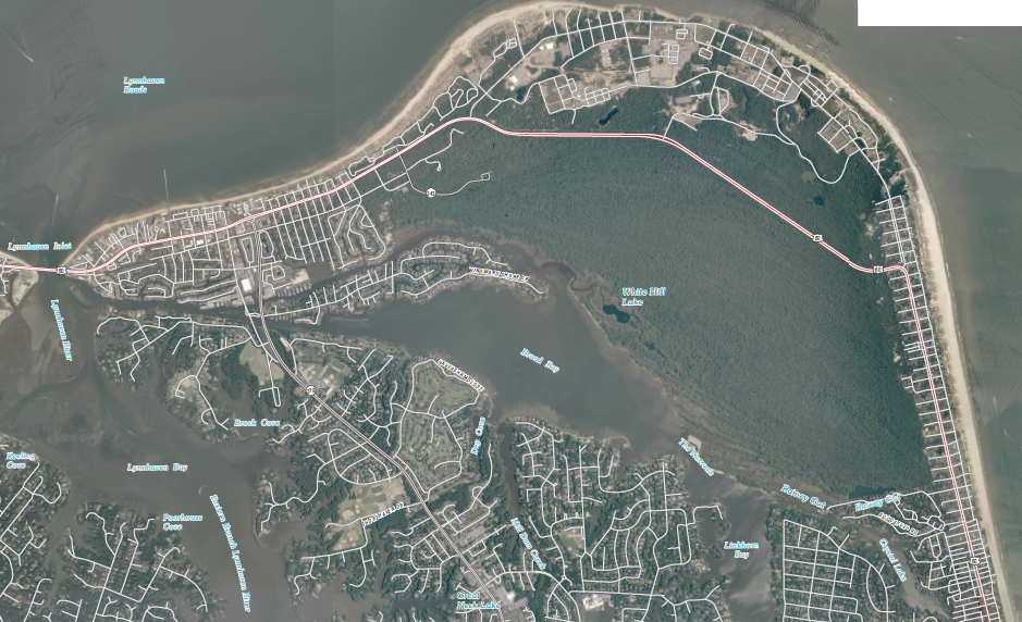
US Geological Survey (USGS), Cape Henry and Virginia Beach 7.5x7.5 topographic maps (2010)

in 1900, the sandy area now part of First Landing State Park was called "The Desert"
Source: City of Virginia Beach Historic Maps, 1900 Survey of Cape Henry (2010)