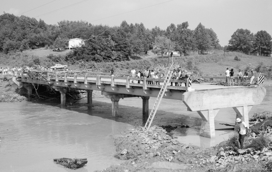
flooding on the Buffalo River during Hurricane Camille in 1969 wiped out the Route 29 bridge
Source: Library of Virginia, Buffalo River Bridge Out

flooding on the Buffalo River during Hurricane Camille in 1969 wiped out the Route 29 bridge
Source: Library of Virginia, Buffalo River Bridge Out
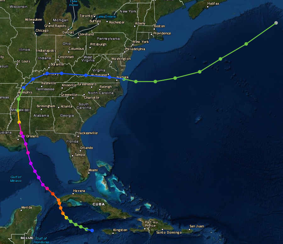
In 1969, Hurricane Camille made landfall on the Gulf Coast. It was a Category 5 storm, with the second-lowest sea-level pressure (908.9 millibars) ever observed in the United States.1
Camille moved north into Virginia. When it reached Nelson County, storm cells formed repeatedly at one spot, creating an extraordinary amount of rain.
Since then, a storm in Hawaii created the national record for rainfall in one 24-hour period. On the northern edge of Kauai, 49.7 inches of rain were recorded over on April 14-15, 2018. Most arrived in three bursts of nearly 20 inches, then 18 more inches after a pause that night, followed by another 8 inches after a second pause.2

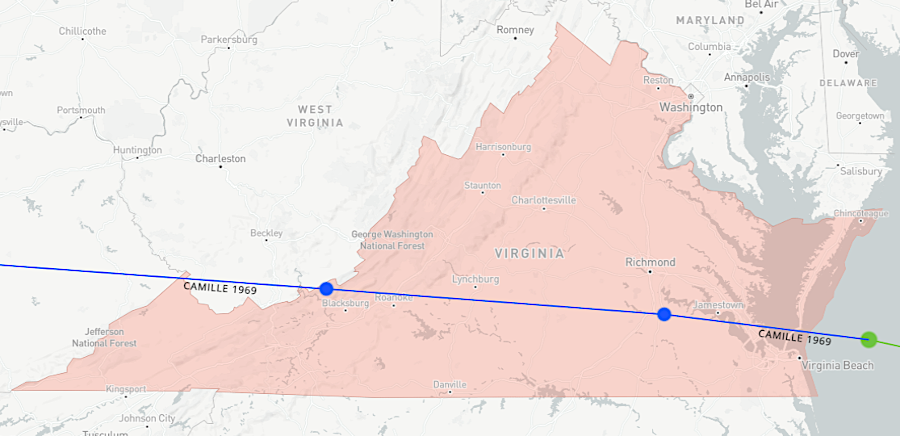
as Camille moved from Virginia into the Gulf Stream, it increased in intensity from a tropical depression (blue) to a tropical storm (green)
Source: National Oceanic and Atmospheric Administration (NOAA), Historical Hurricane Tracks

path of Hurricane Camille in 1969
Source: National Oceanic and Atmospheric Administration (NOAA), Historical Hurricane Tracks