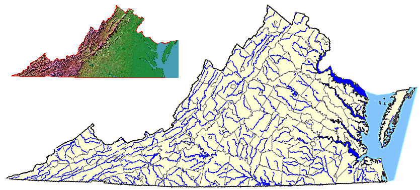
Virginia county/city boundaries and major rivers
Source: NationalAtlas (color insert from Color Landform Atlas of the United States)
Virginia county/city boundaries and major rivers
Source: NationalAtlas (color insert from Color Landform Atlas of the United States)
These web pages are an exploration into what makes Virginia special. It is an interdisciplinary journey through the history, economics, geology, biology, sociology, and other -ologies that can help explain how Virginia has evolved in the past, and what the state may look like in the future.
This site is far from complete. More footnotes are now being added to document the sources of ideas and facts, and to allow the reader to examine those source materials independently. The content and the organization will be revised and expanded constantly.
This website was developed originally for the Geography of Virginia class (GGS 380) taught at George Mason University. I have taught that class intermittently as an adjunt instructor.
The material on this site is not in any way an official statement of any government organization; views expressed on this website are my own and do not reflect the views of the Commonwealth of Virginia or George Mason University.
My own perspective on Virginia places continues to evolve and shift as I learn more about the state. Some pages are outdated and need maintenance, just as many links need to be updated. My current point of view may have evolved since a particular page was created. Learning is a lifelong process
Some of the material is intended to stimulate college students to think on their own, and some statements may jar the sensibilties of the casual reader while (hopefully) shaking up the thinking of the students enrolled in the course. A good student should question conventional wisdom, before rejecting it or accepting it. Developing critical thinking skills requires examining issues and events from different perspectives - in this case, with a spatial twist. If history helps to explain what happened and why it happened, then geography helps explain why it happened here rather than there.
If you find a statement to be incorrect or objectionable, please contact me via e-mail at ![]() first. You may have spotted an error or inconsistency that I should correct. However, you may have reacted to some content that was supposed to generate discussion, rather than serve as the "final answer."
first. You may have spotted an error or inconsistency that I should correct. However, you may have reacted to some content that was supposed to generate discussion, rather than serve as the "final answer."
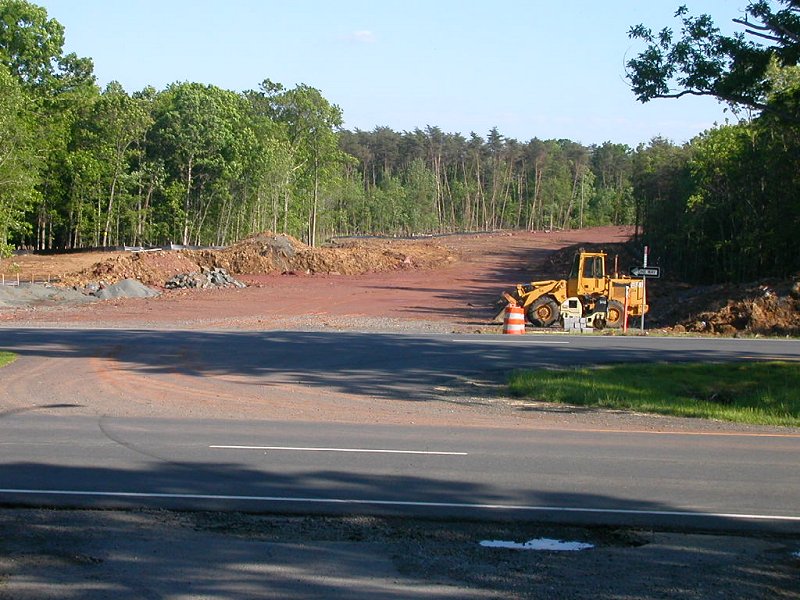 reshaping the landscape in Gainesville |
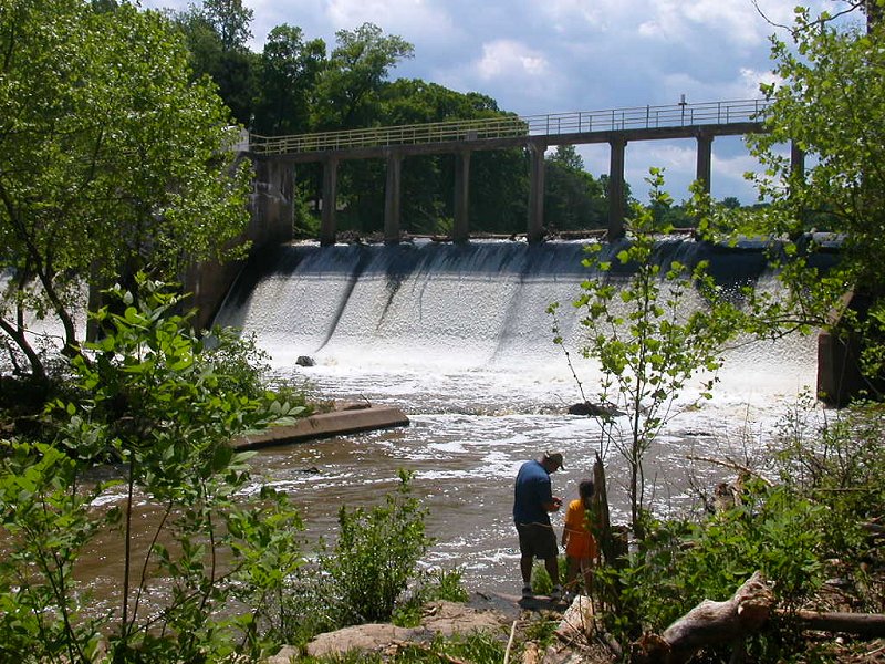 Lake Jackson Dam on Cedar Run |
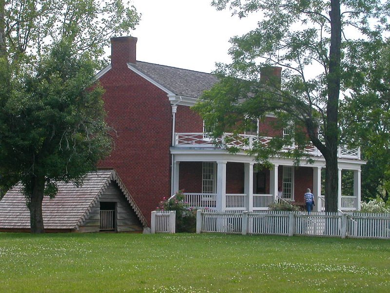 where Wilmer McLean moved to avoid the Civil War: Appomattox |
 investment in heritage tourism when highways first paved |
||
(click on images for larger versions) |
The Copyright - 1998-2020 Charles A. Grymes notice is intended to ensure that this material is not used for commercial, for-profit purposes without specific permission.

This work is licensed under a Creative Commons Attribution-NonCommercial-ShareAlike 3.0 Unported License.